The trails described here are less than a mile long, so if you are into trails as exercise, you can skip this web-page. Sally’s Trail however, is the start of the longest walk in Fullerton; 5.5 miles; 11 miles if out-and-back. (It involves about a mile on sidewalk.) More on that at the bottom.
 Sally’s Trail (out and back .8 mi)
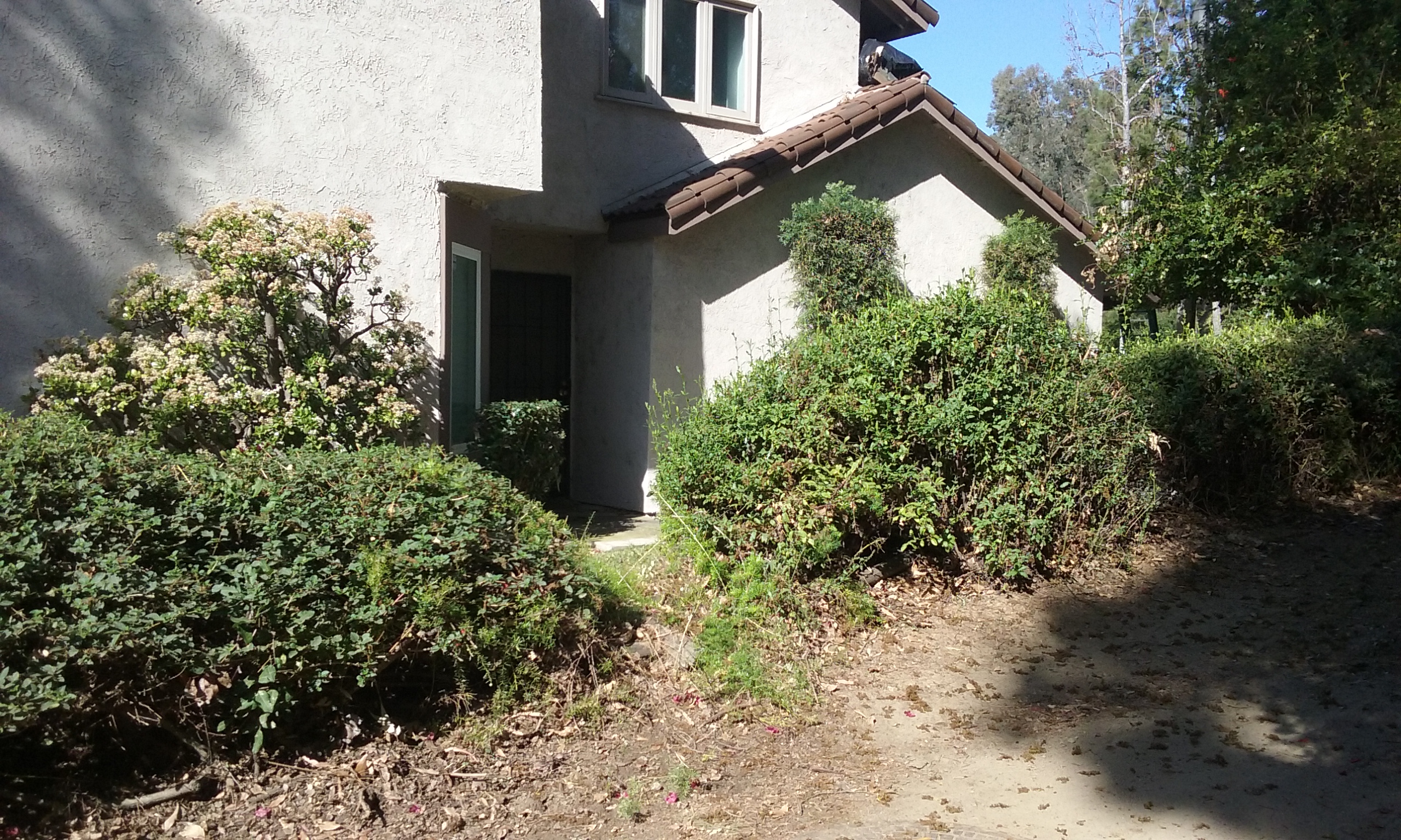
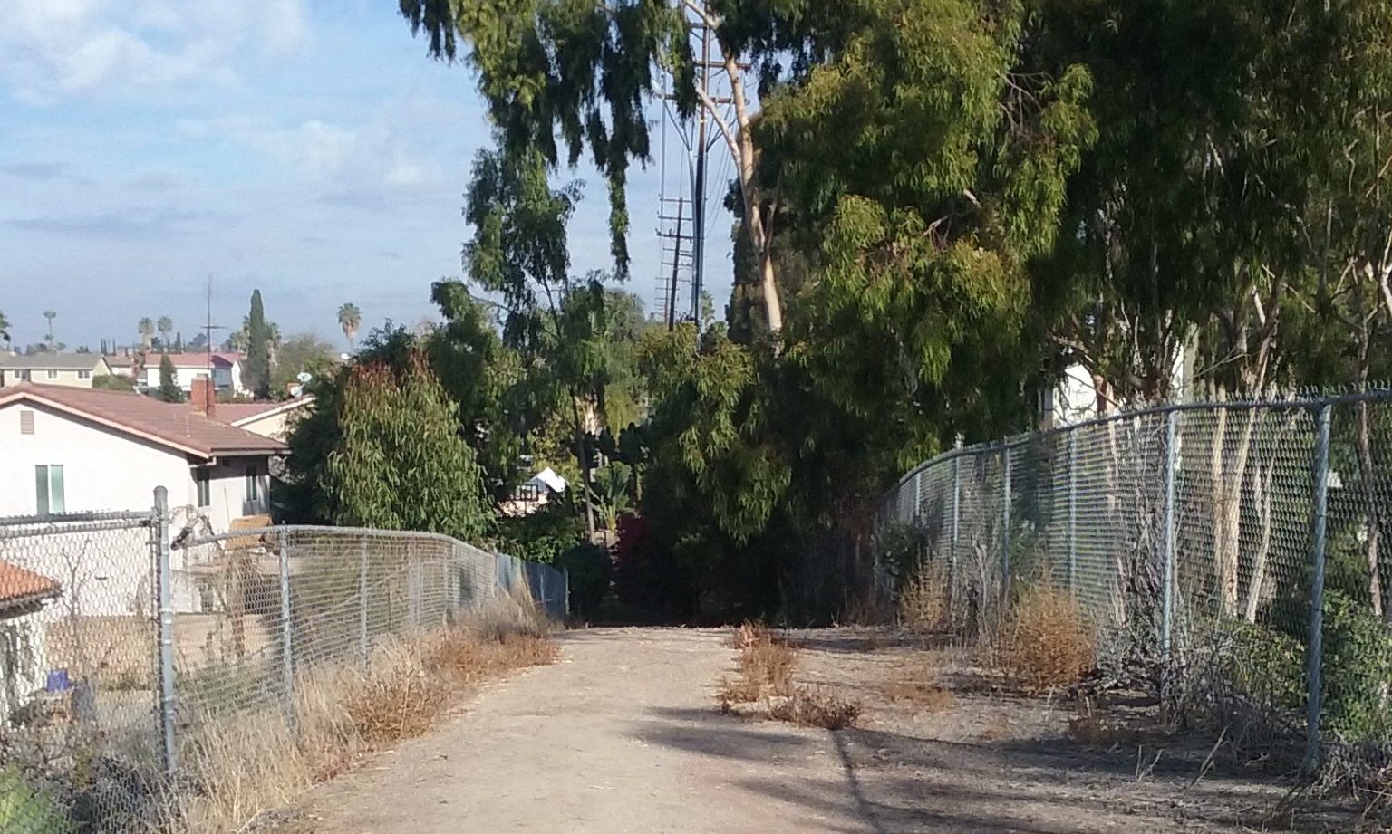
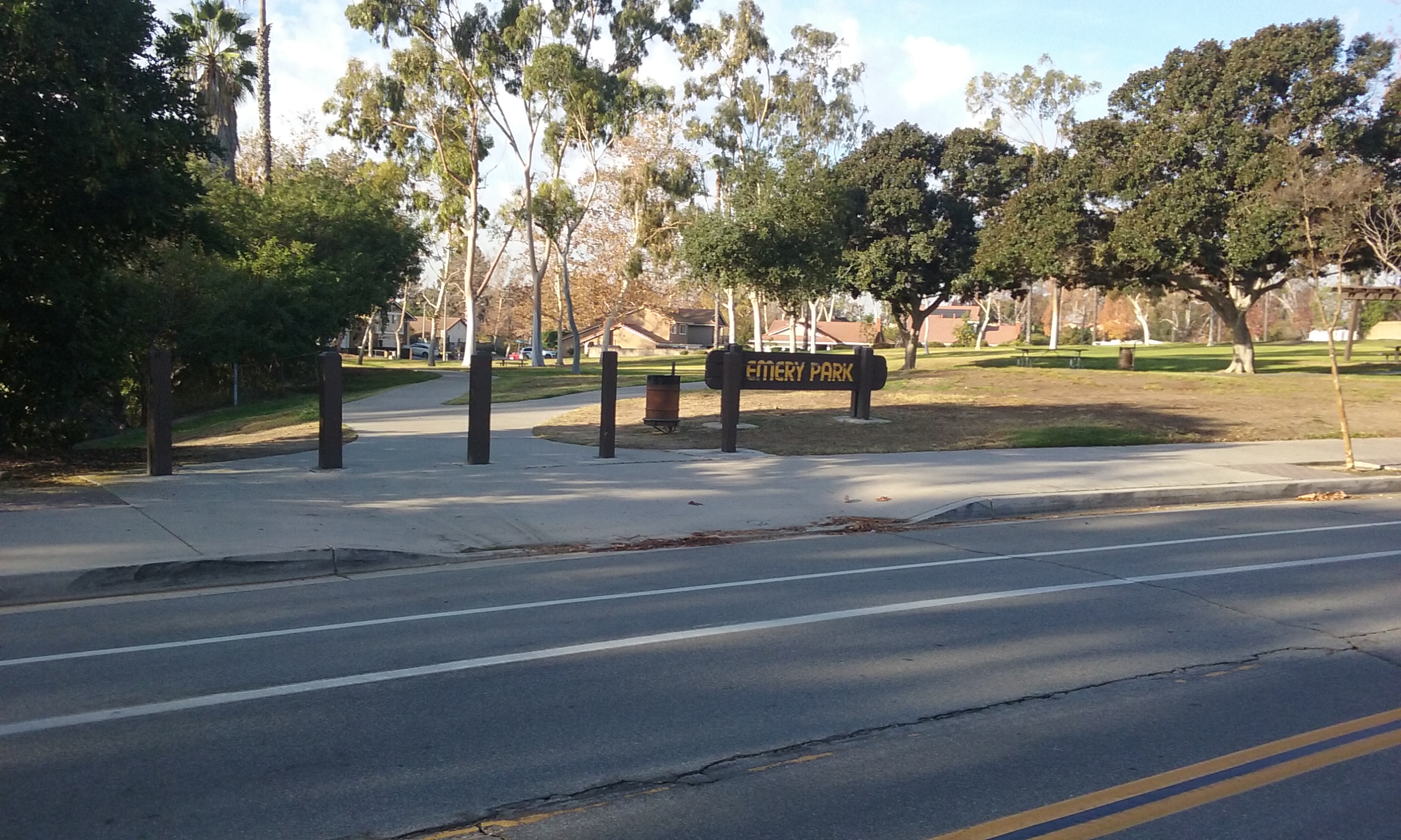
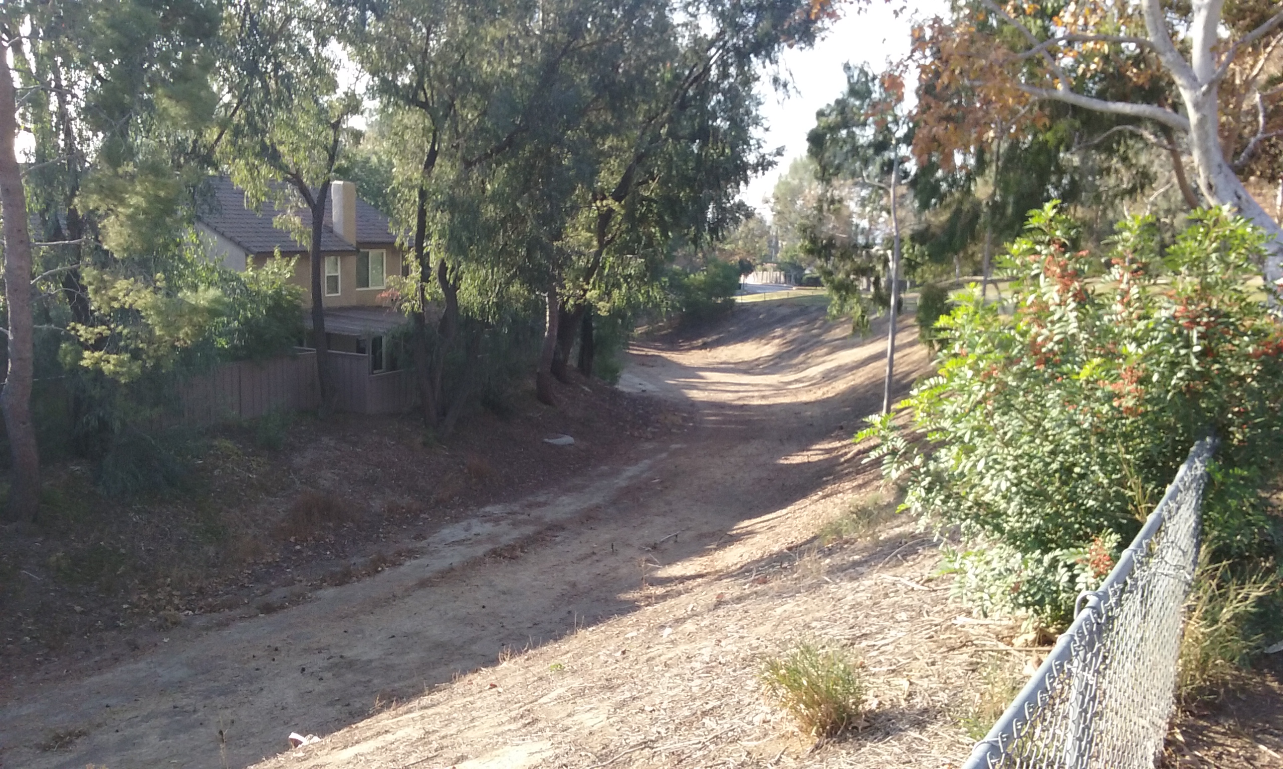
The official name is Sally Pekarek Recreational Trail. (She was city liaison for the Fullerton Recreation Riders back in the 1960s.) The trail starts on Malvern on the north west corner of Gilbert and Malvern. Parking is more convenient than it looks. Park on the south side of Albertson’s. Walk behind the store to an opening in the fence. (It is as if they knew we will need access.) Cross Gilbert right there and continue another 30 feet or so. The start of the path is very inviting, quite wide and well-manicured. There is one very disconcerting thing about this trail. Once you enter, there is only one other way out and it is not at the end. (It is half way along where it meets a path to Emery Park.) The path is tree lined and very cool in the morning sun, but that’s all it has going for it. There’s no view and even the trees peter out as you near the end. It ends in a concrete block wall. To that block wall and back is .8 mile. At several points along the way you will see manhole covers with the word Edison. That and the sudden end is clear evidence this was not intended to be for the pleasure of walking a trail.

Walk to the Park (out and back 1 mile)
Emery Park is associated with Sally’s Trail because they are connected by a wash. You can’t miss that connection if you start from the trail. (It’s harder to see going from the park to the trail.) From the start of the trail on Malvern, in about a block and a half of walking, the trail opens up into a flat area that may someday be watered and mowed with a picnic table perhaps. Right now it is just this really neat flat area that has steep sides almost all the way around. The surface is carefully cut down to bare dirt 50 feet across. (It just begs something be done with it.)

Sally’s trail continues uphill north another 600 feet but there’s not much of a reason to go there. (It is actually just access to an underground power line which Edison tricked the city into maintaining for them.) So instead, starting from the widened part of the trail walk to the left (west) to Emery Park. You will cross a street and enter a wide wash. It’s another 780 feet, about (a block), to the park. The walk up to the park is easier further on. The wash is very deep and extremely wide but that’s just the natural way the land was at the time the developer put in homes. It is not that wide just to take runoff from the park. From the south most end of the park, back to the beginning of the trail on Malvern is 1.0 miles out and back. There’s a shortcut back that turns this walk into a loop that is actually shorter than the out and back. . .
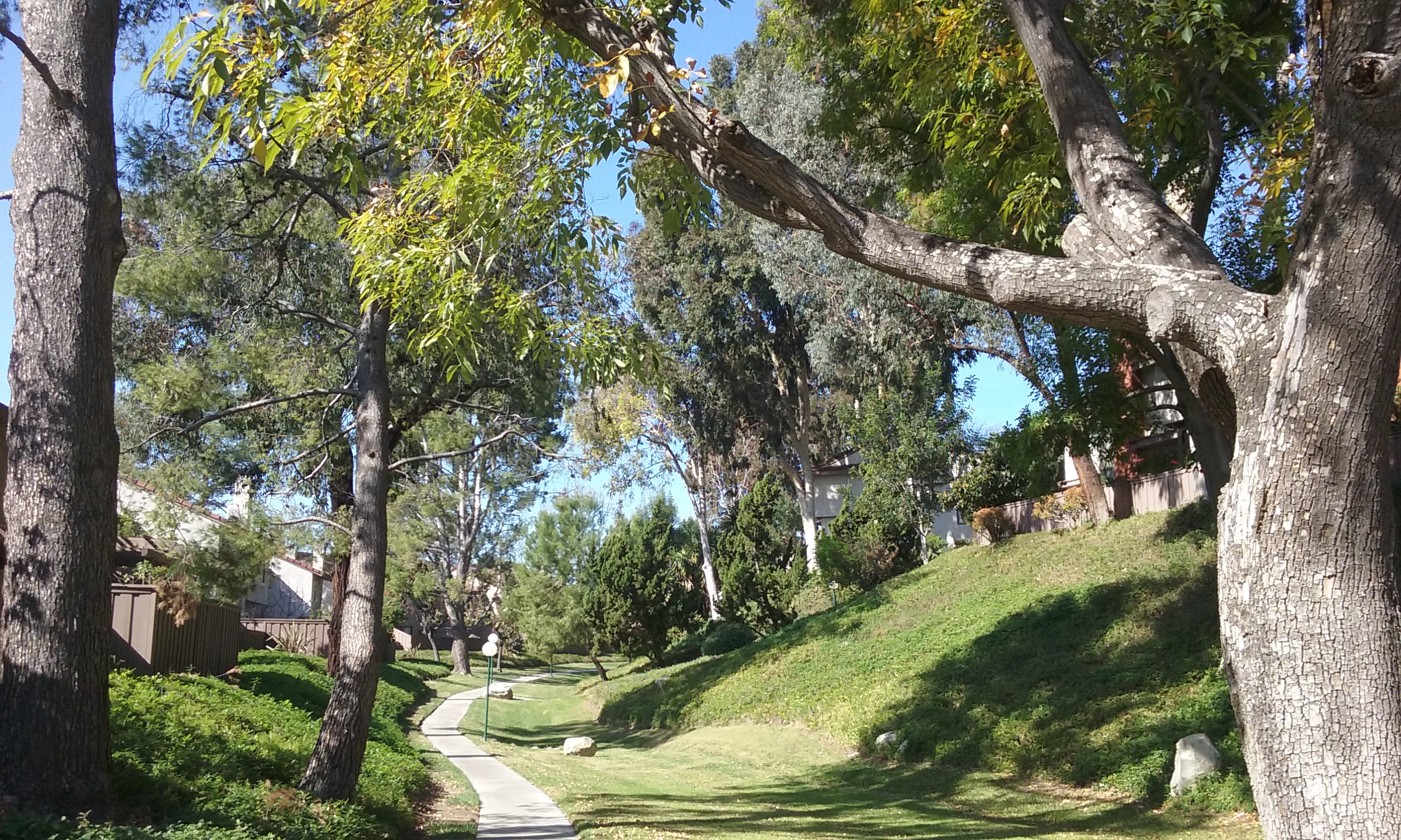
 Emery Park Loop (.9 mile) The large wash that you were walking in to go the park continues south through a tunnel that goes under a street. The tunnel is meant for walking and leads to a meandering sidewalk between condominiums. It is obviously for the folks that live there to give them access to the park. Walking south, you will see immaculately groomed lawn and beautiful homes, but the eucalyptus that have grown up there steals the show. The trail empties out into a parking lot on Sunny Ridge just a few hundred feet from Malvern where you entered Sally’s Trail.
Picking Up Litter
For those of you who get a kick out of instantly improving the scenery by removing distractions, you will notice you don’t have much to do. (At the risk of being politically incorrect, it could be this neighborhood is better than most. Less polluting anyway.) The park itself is always clean but homeless have brief visits on the trail and even though they are run off, their nests sometimes get spread out before landscaping can get to them. You will find a trashcan where the play equipment is, at the extreme east end of the park. For tips on getting a kick out of picking up trash <–click there.

Emery Park as a Meeting Place
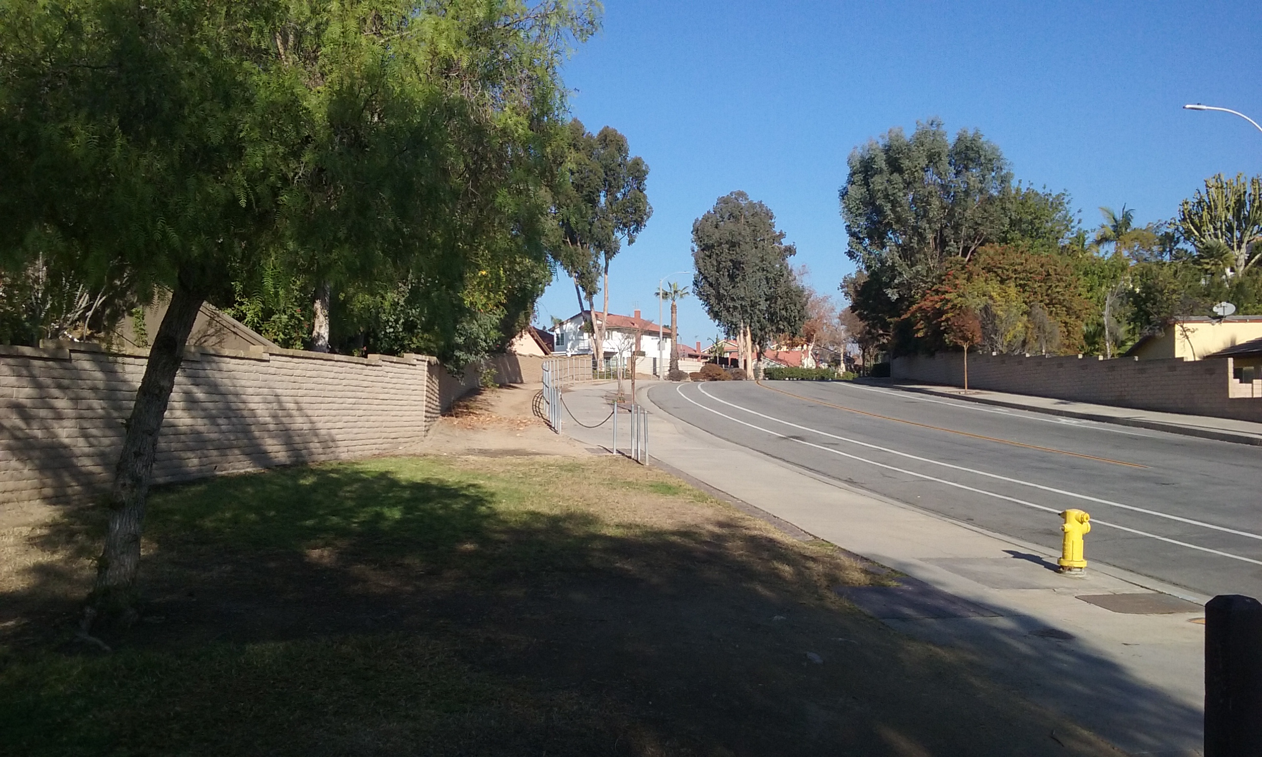
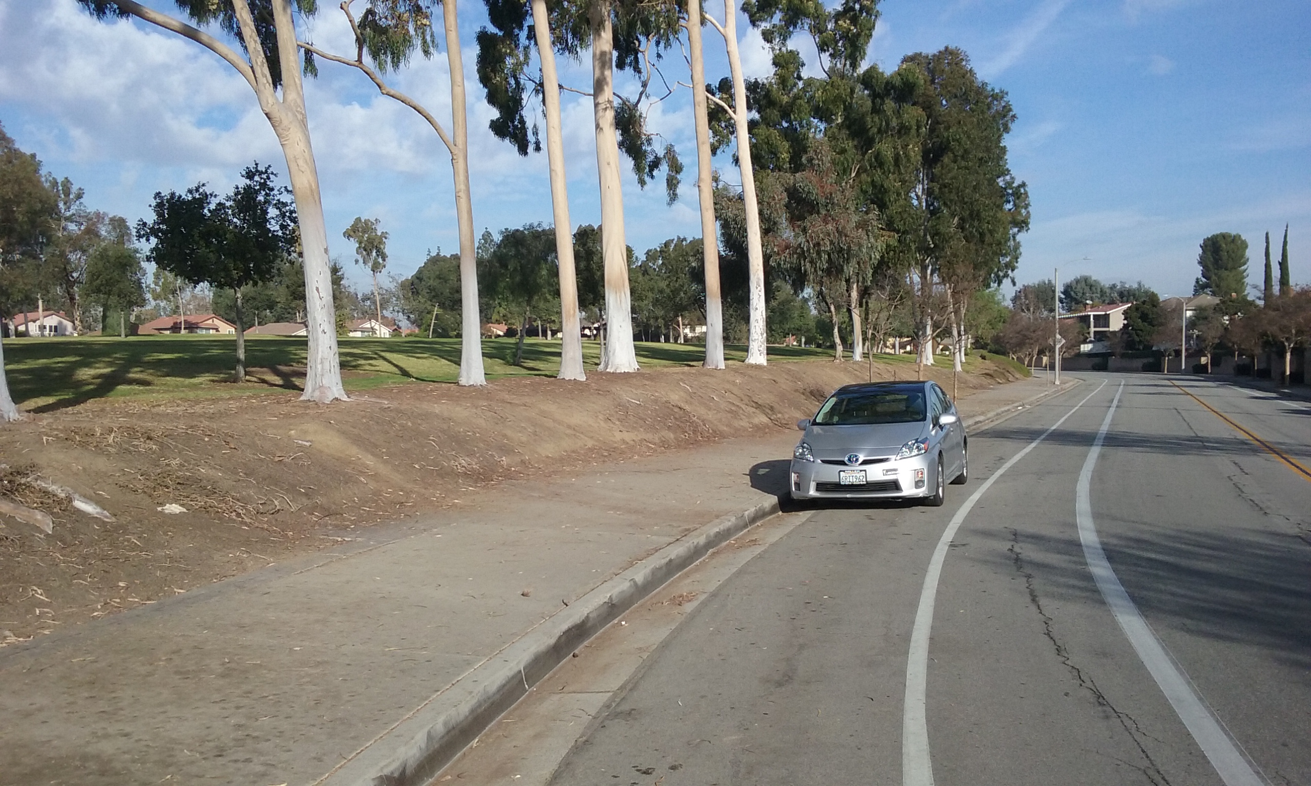
This park has the standard issue of playground equipment and meandering sidewalks but no drinking water or restrooms. It’s 1,500 feet long, not quite two blocks, to walk its full length. It is very convenient to park on the street next to the park on Sunny Ridge. (Sunny Ridge is the street going north from Malvern just west of where Sally’s Trail begins.) Because of the benches, this park is a good gathering place for group hikes. The most interesting direction is north. At the northern most point, continue the walk on a the trail that is a few feet from and a parallel to a sidewalk. This trail/sidewalk eventually goes along Sunny Ridge Drive. Once beyond the park there’s nothing that interesting to look at, but worse than boring; the trail is like being in jail. A steel fence locks you in for several blocks. You are trapped yet they allow you to see out. (humor) You might want to take the sidewalk instead as you emerge from the park. There is something to appreciate though. The Sunny Ridge Drive itself. It is worth remembering the name of this road if you like Fullerton trails because at the north end where it meets Rosecrans is access to several very important walking trails. Parking along Sunny Ridge Drive near Rosecrans, is convenient for four trails described in the web-pages: Clark Park, Hawks Pointe, Rosecrans and Castlewood.

A Very Long Journey (5.5 miles one way)
It was mentioned at the top that this trail can be the start of the longest trail in Fullerton. You may wish to start at Emery park if you are walking as a group. From their, walk north. A word description from there is not as efficient as the map to the right.–>
But, if you must have a blow by blow account . . .
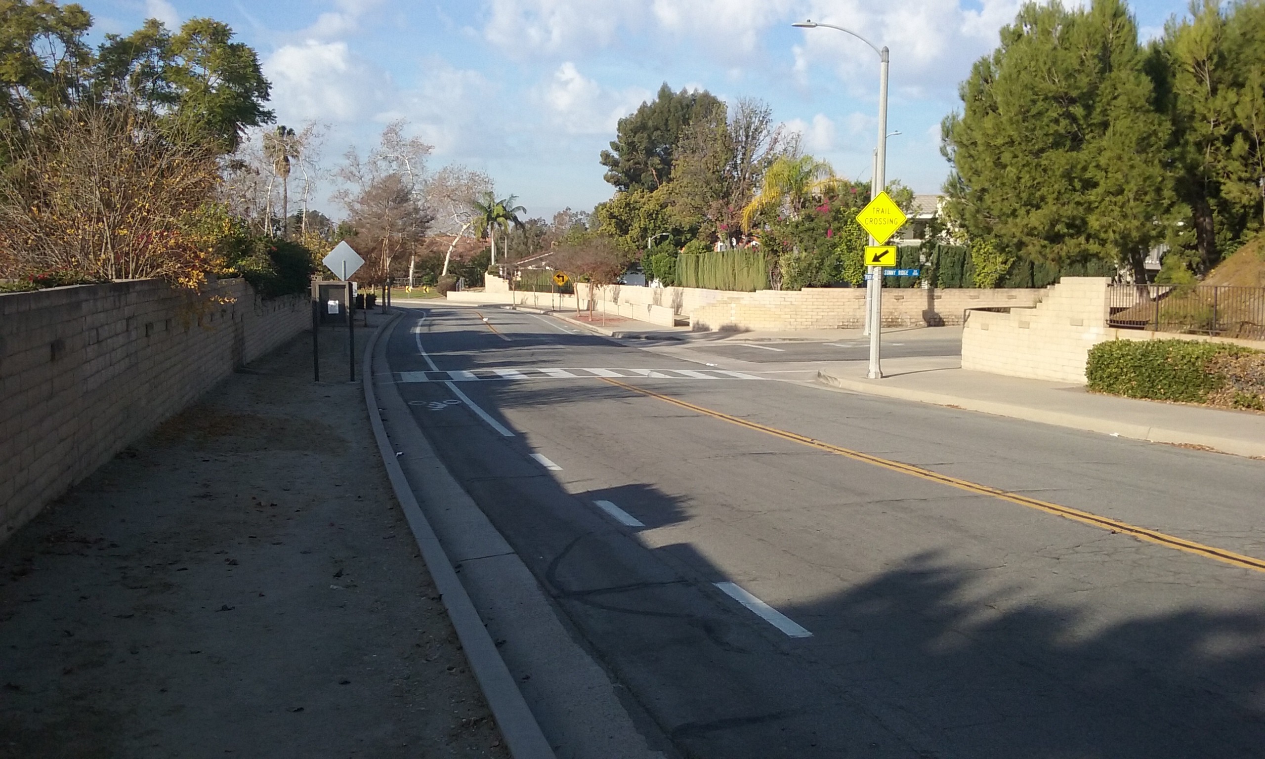
Starting at the Sally Pekarek Trail sign on Malvern, after 1,500 feet (about a block and a half) you go to the left, cross a street and into a wash that goes along the south side of Emery Park. From the wash, climb up to the park and pass through the park north. For meeting friends, a better place to park might be next to Emery Park itself. It is on Sunny Ridge just half a mile north of Malvern. After passing through the park take the sidewalk north. That takes you to Sunny Ridge Drive’s sidewalk which you will be on for about a mile to Rosecrans. Walk west about a block on Rosecrans’ sidewalk to the fire station. (Except for this one mile of sidewalk, the rest of this long walk is on dirt.) At the fire station, pick up the Castlewood Trail and walk north a quarter mile to the best view of Coyote Hills there is. (For more on this part, see the webpage–> Castlewood Trail and then do a search; keyword: Sunny Ridge.) Continue east on Castlewood for another mile. After leaving Castlewood Trail, walk east on the sidewalk of Castlewood Drive where you will see a large sign for the Nora Kuttner Trail. This goes all the way to Euclid. You then walk north along Euclid and cross at the signal on Laguna Road. Right there it’s easy to see how to enter Laguna Lake Park. After walking the length of that park and then the lake itself you will come to Cooke’s Corner which Juanita Cooke Trail passes through. You can go south to the court house or go north to make your journey in the same direction you started. You can cross Imperial and go clear into Los Angeles along side the Union Pacific rail line. This would be wonderful if didn’t have to share that path with the occasional diesel locomotive. That’s because north of Imperial, the track is no longer abandoned. The best place to stop this long journey is at Imperial right next to Walmart. That’s 11 miles out-and-back. But. . . Instead of the “-and-back” part you can meet a friend there for lunch. Walking past the front of Walmart there’s Wendy’s and around the corner a Cuban Restaurant that offers a meal that tastes familiar but seems exotic. For those who remember the days before cell phones, meeting a friend who drove was burdened by the need for precise timing. That meant the walkers had to adjust their pace to keep on schedule. It also meant no side trips or time spent taking pictures or chatting with folks going the other way.
Click on a picture to see it full screen . . .
Suggestions For Parks and Recreation
The park architect clearly had in mind for cars to be parked alongside Emery Park. The road widens right there. All of Fullerton parks that are next to streets allow parking there. The park is above the sidewalk but gradually gets lower toward the end where the Emery Park sign is located. It is only gradually down as you get closer so there’s something of a dilemma faced by those that park further up, as to how far to walk toward the shallow end before scampering up the dirt bank. (It is easy to see that kids scamper up the steep bank in many places.) The trees need the dirt around them so the steep rise must remain steep where the trees are. Where there is a space between the trees, I think it would be well worth spending a couple hours with a hoe and make a number of paths down at an angle at various places.
The trail that leads north from Emery Park along Sunny Ridge is something of a mistake. It could be that the neighbors find it to be an embarrassment. Like Sally’s Trail it isn’t used by anyone because it goes along the sidewalks but the sidewalks don’t trap you in. There is only the ends where you can escape. You are trapped behind a well-built fence that only a teenager could climb over and only a little child could crawl under. There is a sidewalk that is much more accessible that is parallel to the trail. If there’s any complaints about this, use that as an excuse to remove this mistake. Get rid of the metal fence for the entire length and devote the full width to bark. That will bring more attention to the trees.
The railing would be expensive to remove. Something easy to remove is a trail head sign in the middle of a decomposed granite sidewalk that is only 184 feet long? 33°53’16.3″N 117°58’15.6″W. Like all information signs. It says nothing. But that’s OK if just its presence says there’s a park or a trail begins here. But there’s nothing here.
Except for the wide flat area (where you go left to Emery Park) Sally’s trail has strong fences on either side the whole distance. That’s scary. There’s two or three places where the fence can be opened to alleys. That would help with the claustrophobia. Right near the beginning is an opening into somebody’s back door. Even if they don’t mind, few would use it thinking that it would be an invasion of privacy. Opening it up at various other places as entrances to the trail would give purpose to an otherwise useless trail. That purpose would be to gather neighbors to use the trail to get to Emery Park.