The Most Amazing Sight in Fullerton; The Early Morning View of West Coyote Hills
Most of the trails described on this page are loops. All of them go past this particularly spectacular viewing spot. It is the best view of the largest uninhabited area in Fullerton; the famous West Coyote Hills. This land has been a matter of great debate for many years. Chevron owns it. As of 2017 it is still up in the air as to whether new homes will spoil this incredible site. The political tussle is not so easy as “spoil this view or not”. It has to do with what government agency is going to determine its future. Most agree that in the long run, there will be houses in this picture. It’s a matter of 2 years, 20 years or longer. Which government agency buys it from Chevron becomes the agency which determines when and where and how many house go in here. For those who walk these trails to appreciate the above view, you should be rooting for the State Parks to win. If that happens, this will be the second state park in Orange County that is not a beach (the closest one is actually not even in Orange County –> Chino Hills.)
The trails described in this webpage are entirely in Fullerton Parks Department land. It’s the view that is under contention. So walk this trail soon and often. If all you want is this amazing view without working for it, you can drive to within a hundred yards of it by taking Coyote Hills Drive west to its end. Coyote Hills Drive is about block north of where Gilbert crosses Rosecrans. (That’s a mile east of Beach.)
Where to Park if You Want to Work for This Amazing Site
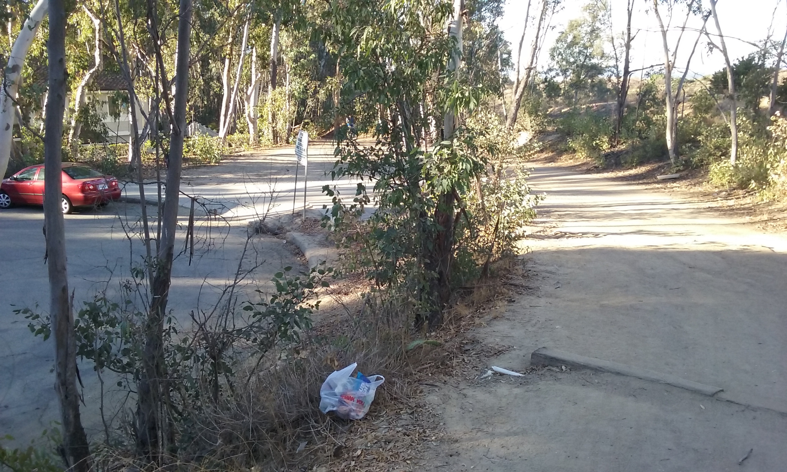
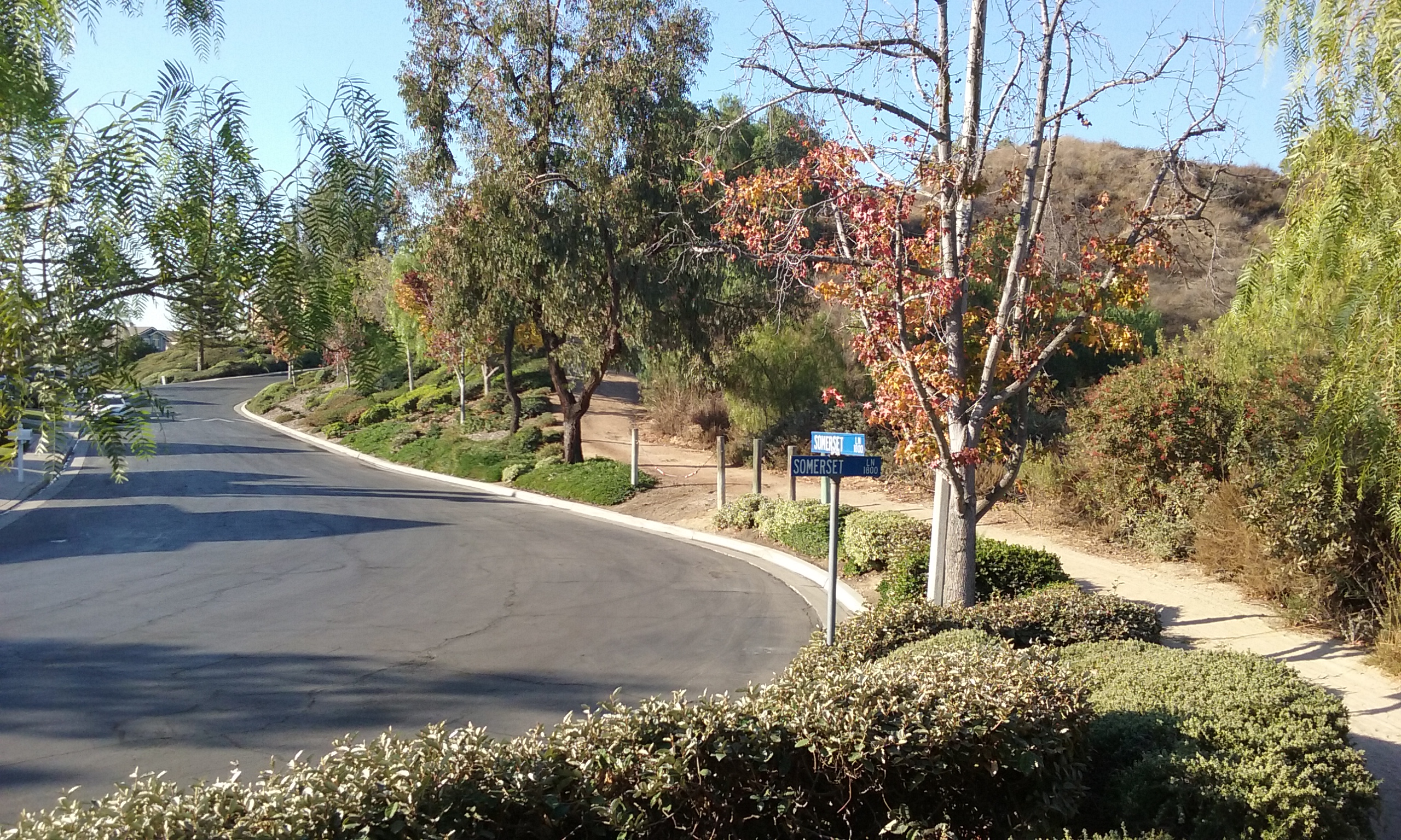
There’s a few places to park right where Castlewood Trail sign is; just a few dozen feet west from the corner of Gilbert and Castlewood. Gilbert is a main street off of Rosecrans (1 mile east of Beach). Castlewood is then 3/4 mile north. If this entrance to Castlewood Trail has more than a few cars parked there, a better place to park and a place which the neighbors would prefer you to park, is next to a wide section of the trail that has easy access to the street. It is also where that street –Somerset Lane– gets wide enough for parking. From the corner of Gilbert and Castlewood, drive into the housing tract south. It curves to the right and take the first right you can. What you will soon see is the trail itself. Park your car on the park side of Somerset Lane. You lose a quarter of a mile of walking by parking this far along, but there’s still a mile of trail left. (It is excellent hard packed dirt, nice hills and great views.) The official end of the Castlewood trail is the fire station on Rosecrans. That trip is what’s described next.
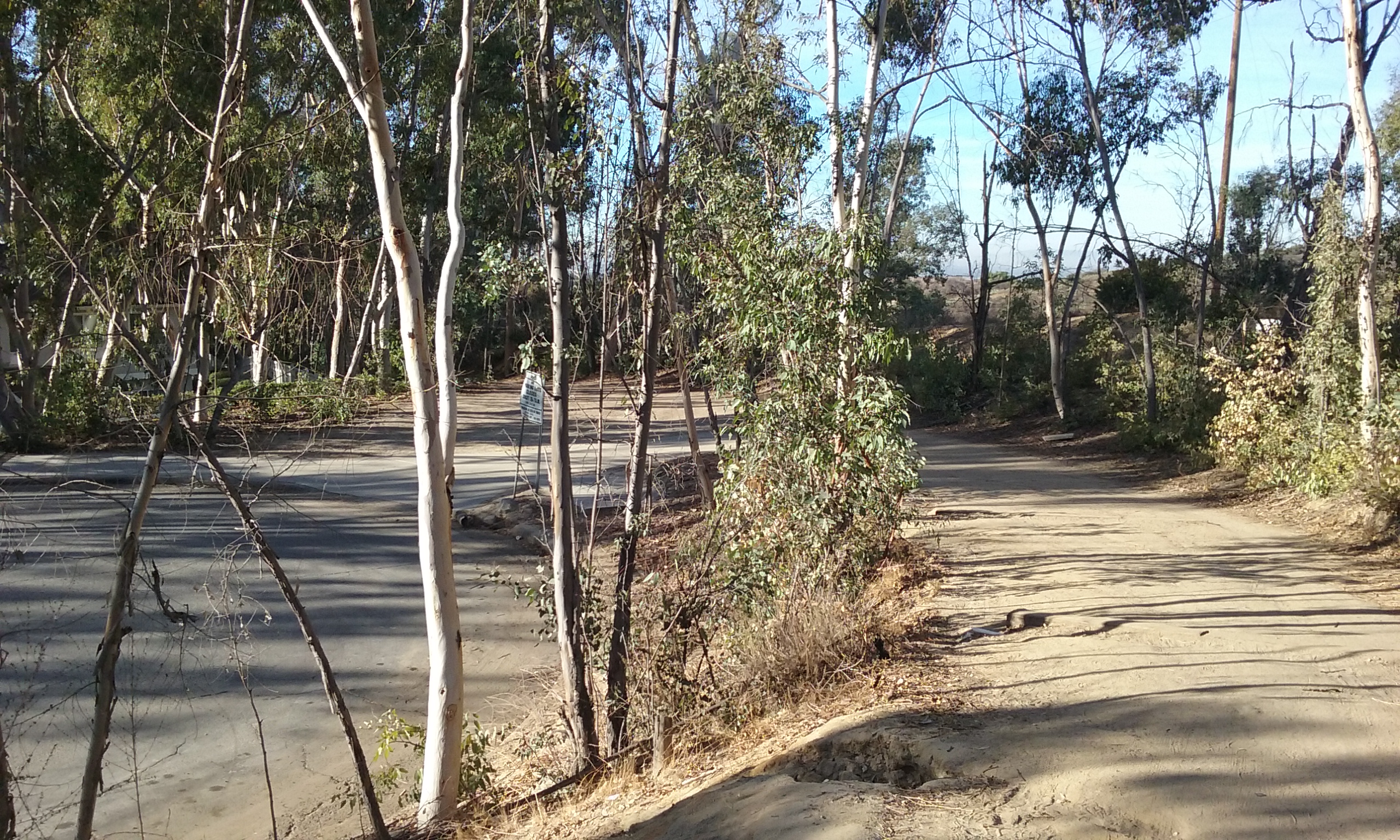
Castlewood Trail Out-and-Back (1.8 mi)
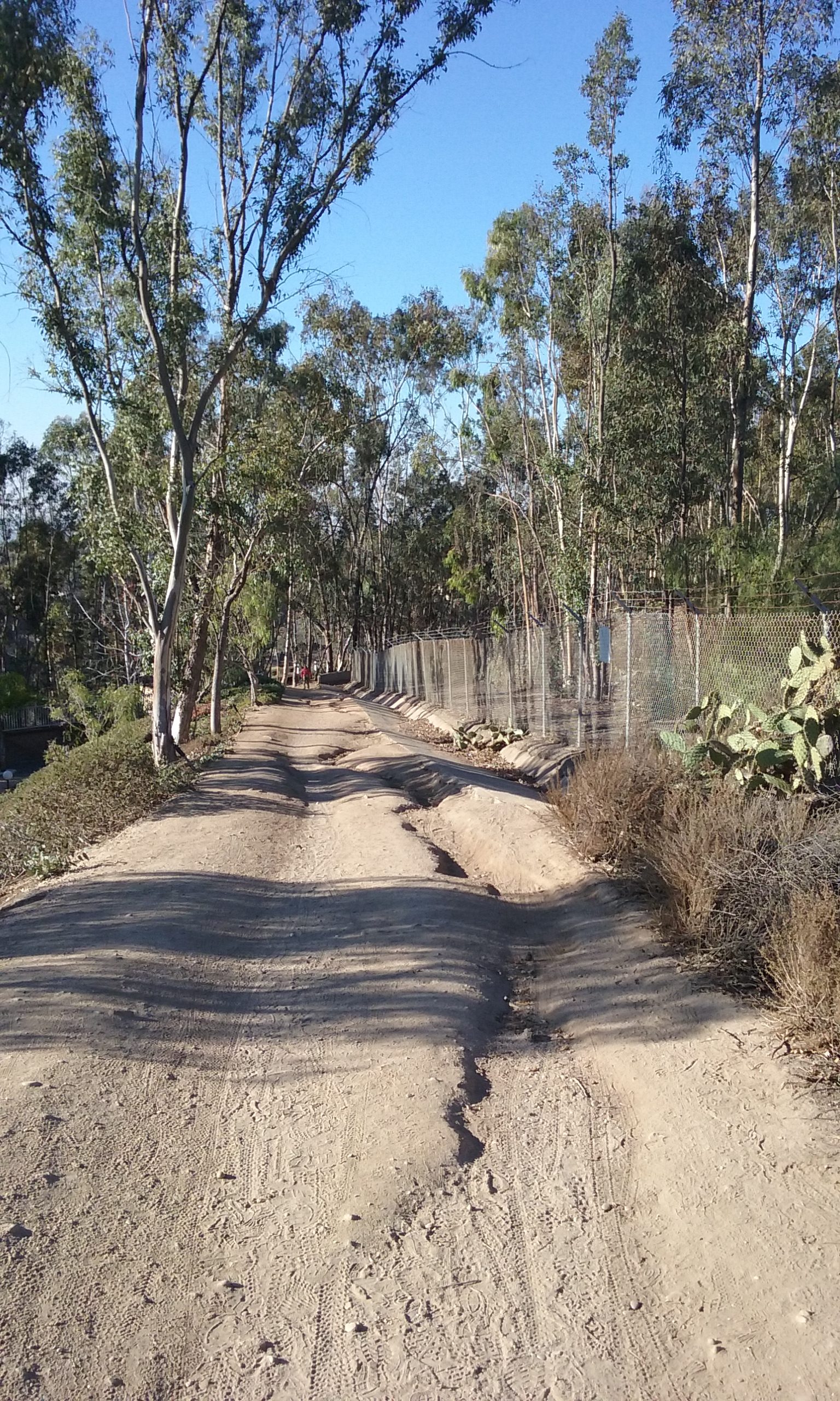
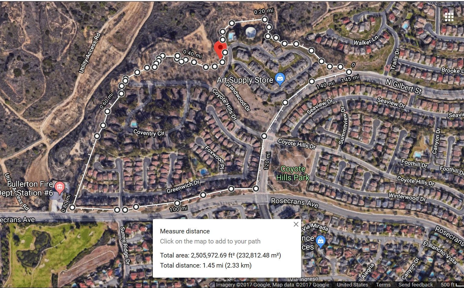
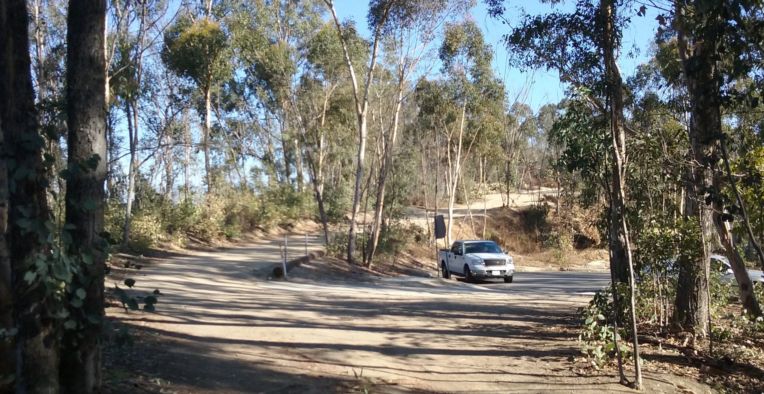
The goal here is the fire station on Rosecrans (a few blocks east of Beach). The start is the Somerset Lane Park describe above. Your journey will go past the Amazing View described above. The start of your walk is the trail to the south-west of Somerset Lane Park. There is a junction (a place for a decision) in this trail ¼ mile in. The main part of the Castlewood Trail is to the right; take that. (The other way is a few hundred feet to Gilbert and a shorter loop described below.) The longer trip will take you around a water tank and then around a hill to the right. You will pass the cul-de-sac of Coyote Hills Drive then down a very straight tree line lane. The end of the trail is Rosecrans right next to the fire station. To see the amazing site on this particular walk, you have to take a side trip when you arrive at the Coyote Hills Drive cul-de-sac. Look for a narrow un-maintained bike trail along the fence. Anywhere along there is the great view. (See also this map–> Place with a View)

Long Loop (3.6 miles)
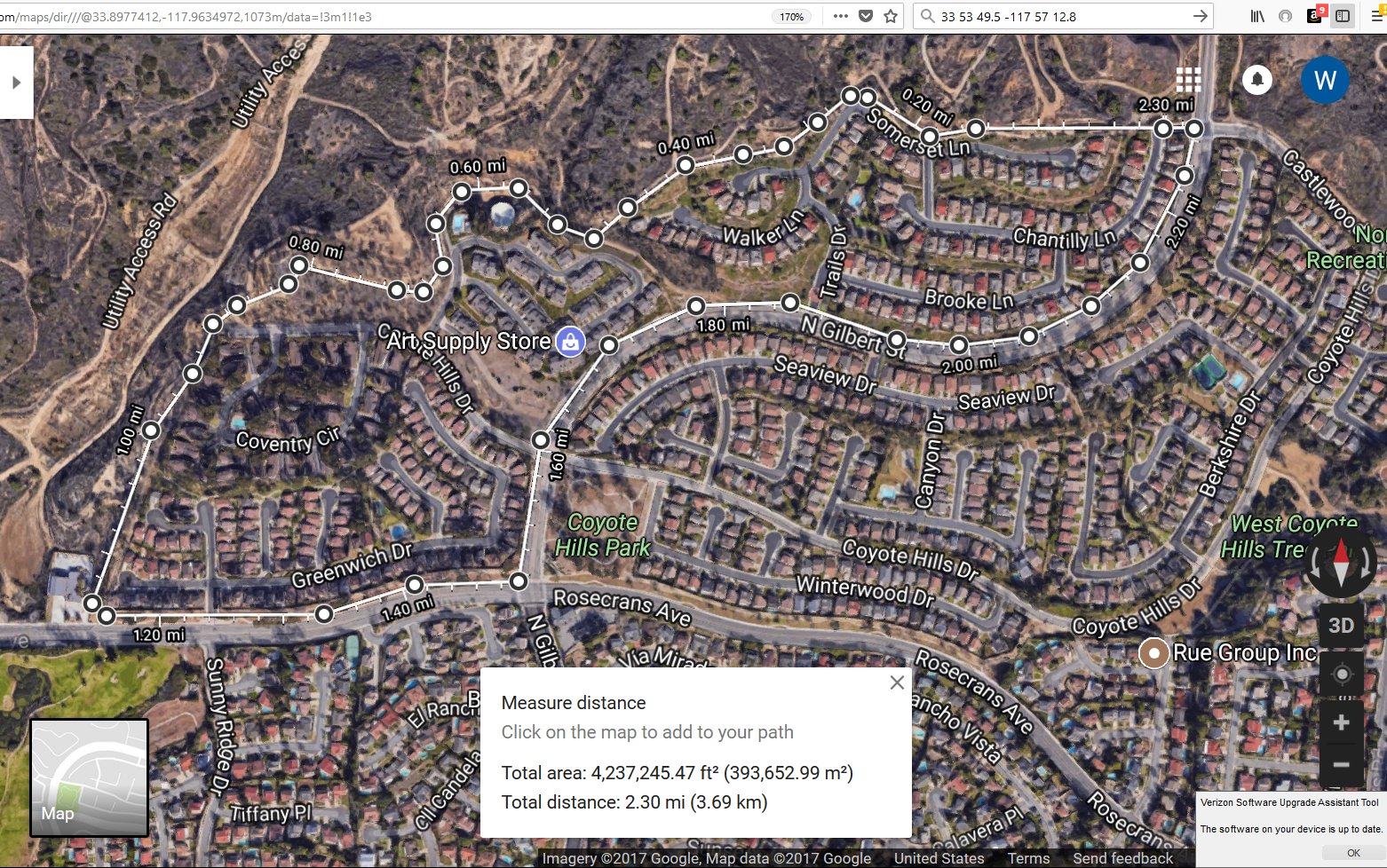
This loop starts far from the entrance to Castlewood Trail. It starts at Tree Park which is the starting point for several other trails. Tree Park has park benches which makes it a good spot to meet others to begin a walk. Parking is on Parks Road; next to the park. (Picture to the left or if you have installed Google Maps enter: 33 54 05.1 -117 57 25.6) For this rather long loop, walk north on Park Rd sidewalk about 1,000 feet where it turns left and changes its street name to Castlewood Drive. After a quarter mile further on the sidewalk you will cross Gilbert and immediately spot the Castlewood Trail sign. The Castlewood Trail from there is 1.2 miles and ends at Rosecrans Blvd where the fire station is. There is a junction in this trail ½ mile in. The main part of the Castlewood Trail is to the right. A short cut is to the left. The longer loop (right at the junction) winds around a water tank, passes a cul-de-sac and continues on south to Rosecrans Blvd where the fire station is. (See below on a description of the scenery at this point.) You then walk east on the Rosecrans Blvd sidewalk 1.2 miles to Grissom Park where you will go north on Grissom Trail crossing Camino Rey Street and then following that more rustic trail which curves west then south. You will emerge exactly where your car is parked. The 3.6 mile loop is pictured here –> long loop map.
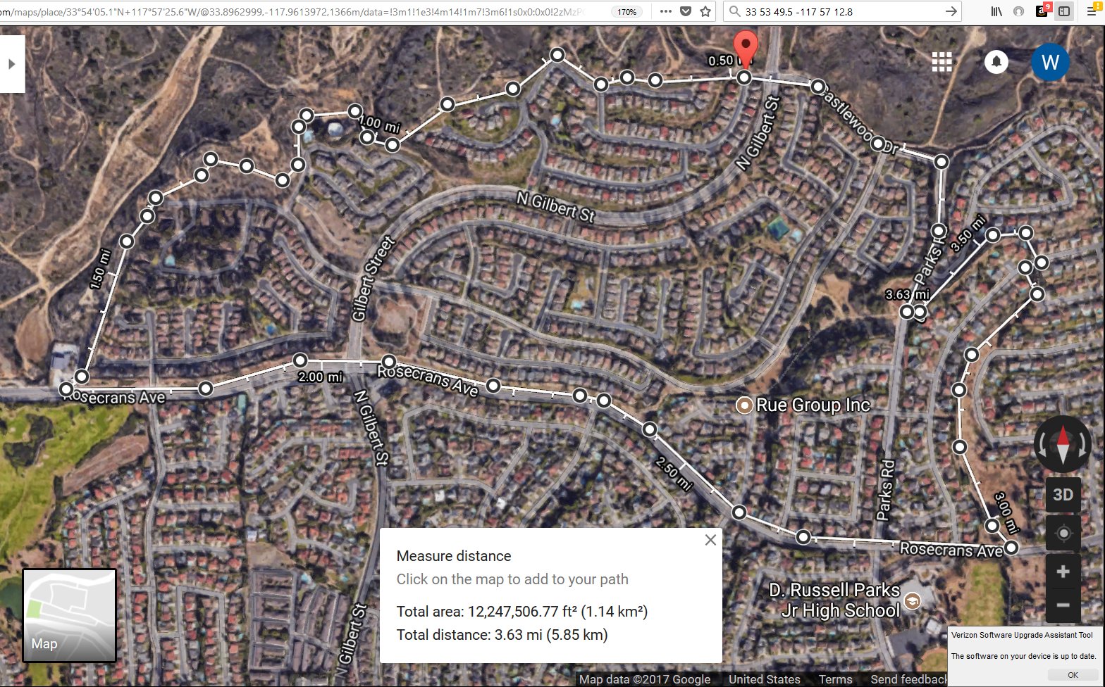
This 3.6 mile loop has 1.2 miles of sidewalk. The 1.2 miles can be cut in half and still get you back to your car. Here’s how: When you are on Rosecrans watch for a trail north just past Canyon Dr. It is the Rosecrans Trail. You will walk about a block on a sidewalk until you get to the bottom (less well-groomed part of…) Tree Park. To see a map on this shortcut, click here –> less sidewalk.

Water Tank
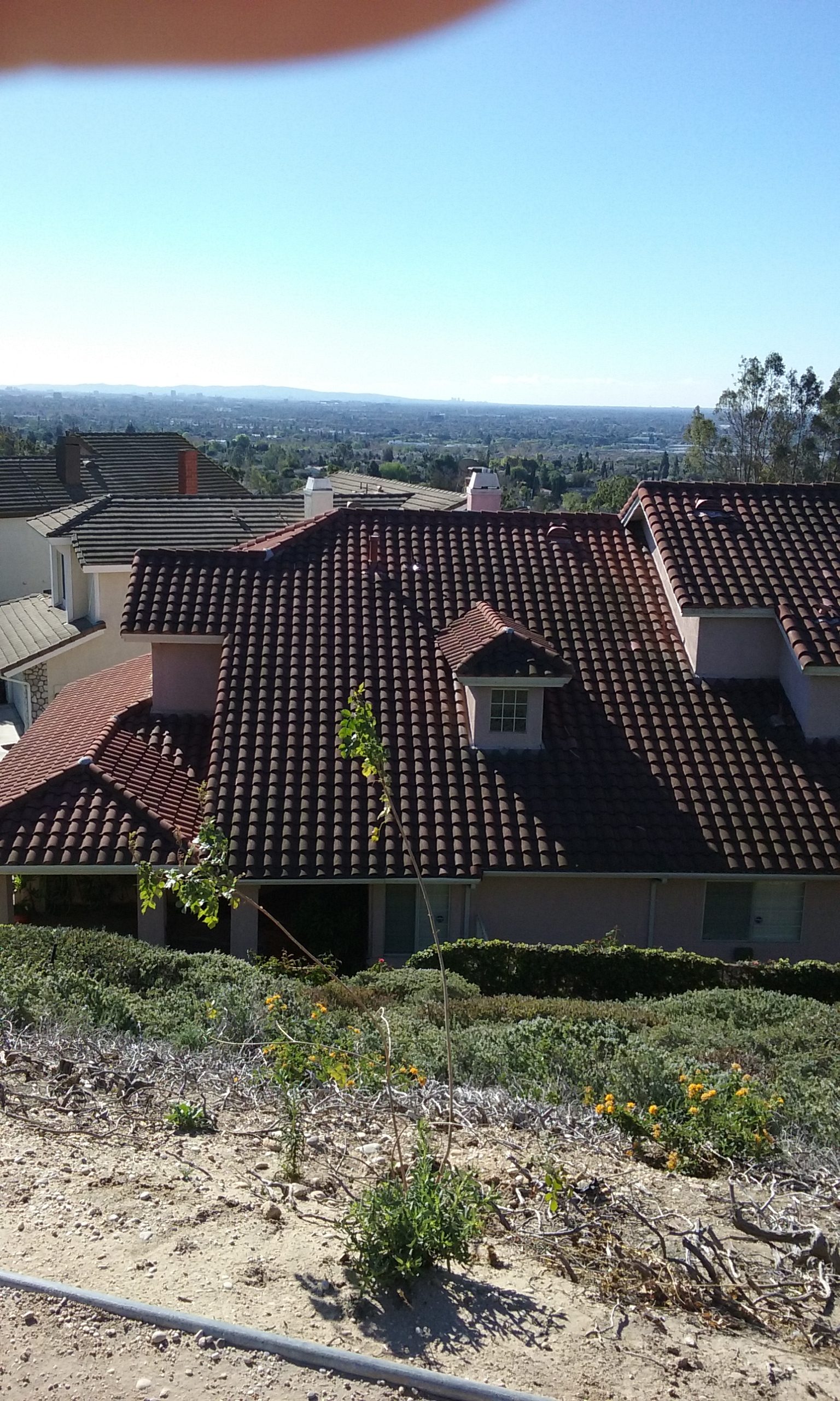
At the Castlewood Trail junction ½ mile in, if you take the path to the right (this is the long loop) you will find this by far the more interesting. For one thing you will walk very close to a large water tank. This is an example of a low water tank which are placed where they can’t be seen by houses or streets. The small tank with round ends is a surge tank, not a propane tank. It is part of the pumping system for this tank. High water tanks don’t have pumps. The lower tank pumps force water uphill into the higher ones and of course the upper ones feed the city by gravity. All tanks for a given city are tied together. If in a disaster of some sort, where there’s no electricity, the higher tanks can feed the city for several days. The electrical power for the pumps comes in underground but doesn’t have to come from very far away. There’s a street about a 100 yards away where houses are, and they have underground power as well. In the picture at the top of this page you can see in the distance the nearest “high” tank fed by this one. You can see that one up close in the trail described in –> Hawks Point.
East Castlewood Very Short Loop (1.1 miles)
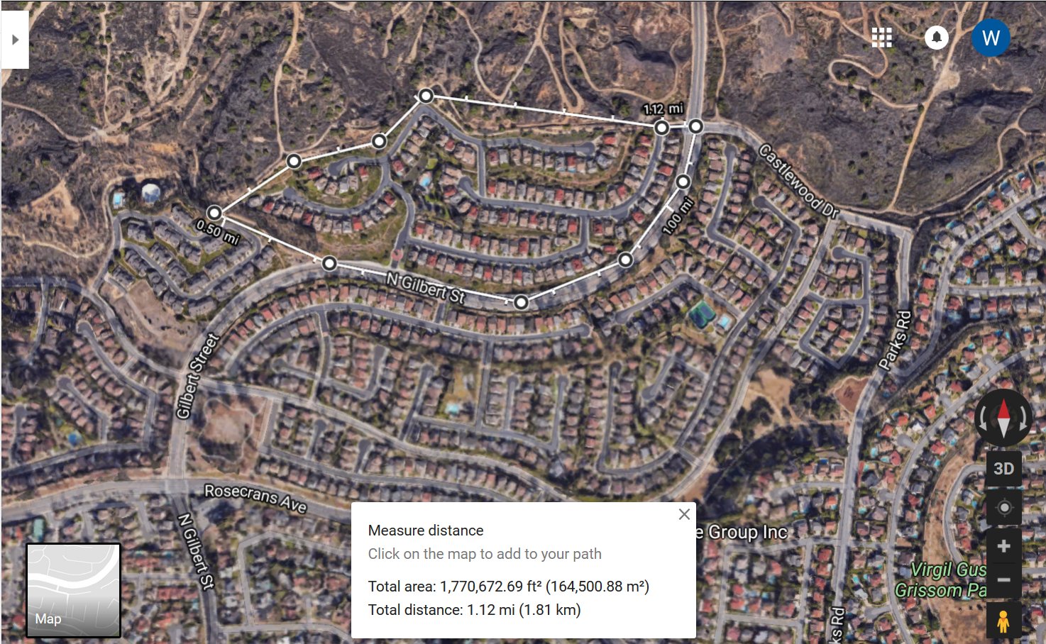
That junction mentioned above. . . in case you are wondering where the trail to the left goes . . . it goes to Gilbert. This makes a much shorter loop that starts at the Castlewood Trail sign (or the Somerset Lane Park) described above in green. That junction is ½ mile from the start. There’s an abandoned brick building there. The trail splits, going in opposite directions. Take the path to the left for the shorter loop; right for the longer one. The shorter one takes you to Gilbert Street where there’s a very wide sidewalk which you will take back (to the left) to the beginning of the Castlewood Trail.

West Castlewood Medium Short Loop (1.4 mi)
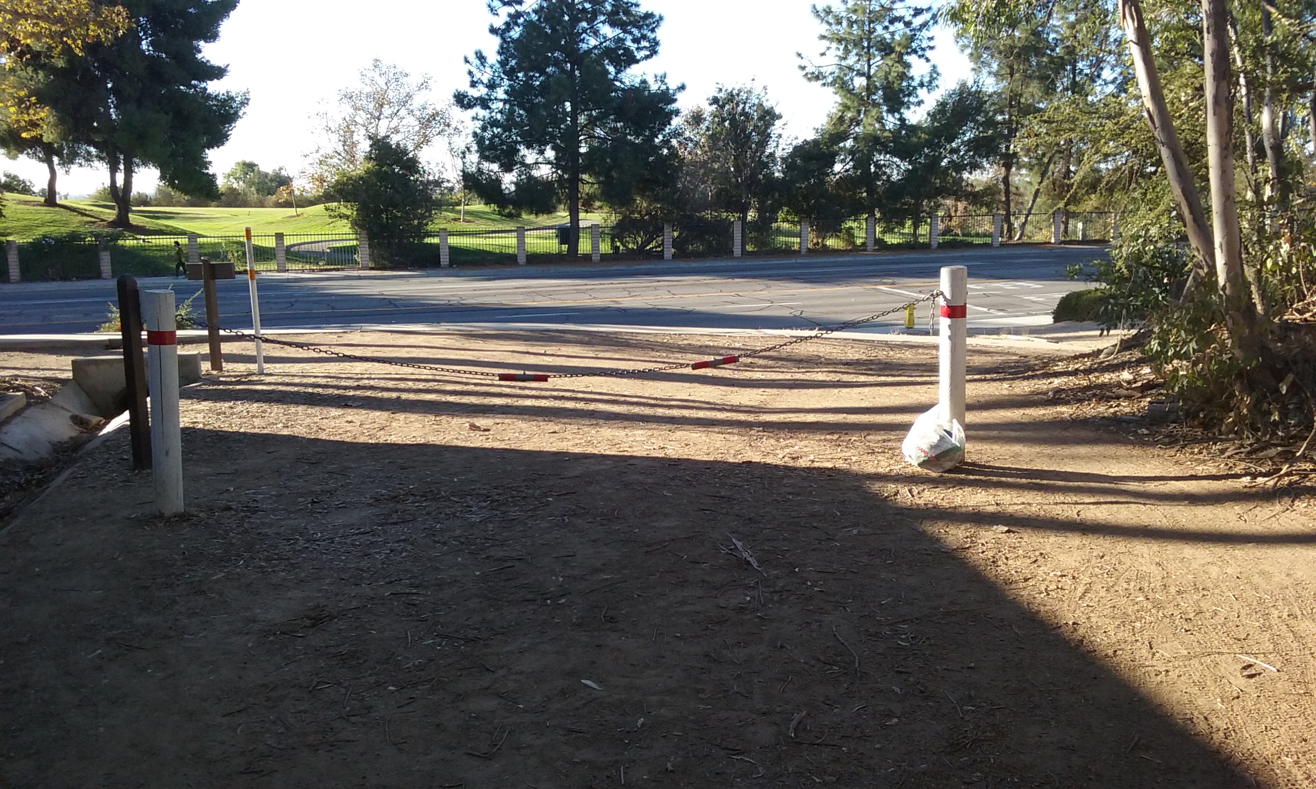
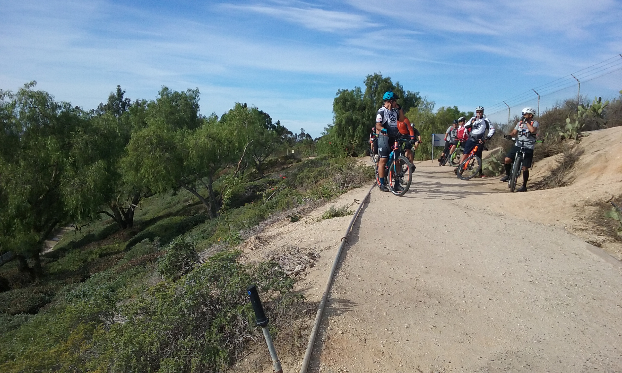
This loop starts where the out-and-back trail described above ends; the fire station on Rosecrans. The closest parking if you begin there, is across Rosecrans from the fire station and east about a half a block. If you are driving on Rosecrans turn south into Sunny Ridge and park there. After leaving your parked car, cross Rosecrans at Sunny Ridge. And then walk west on the boring side of Rosecrans. The more interesting west is on the south side of Rosecrans. Alas… there is no crosswalk at the fire station. But if you are not afraid of jaywalking right there at the fire station, what you will see along the south side of Rosecrans is the remains of the McColl Dump Superfund site. (Ongoing actually.) All those pipes going every which way are interesting to look at even though no sense can be made of what you are seeing. Next on your left is where rich people walk on extremely well-manicured lawns with the occasional small hole which they like to a roll a small ball into. When you are opposite the fire station, you can see where the entrance to the trail is. Yes, Jay walk! The Castlewood Trail is not quite the thrill of running across a street right in front of a fire station, but the first quarter mile of this end of the Castlewood Trail will engulf you in some very lovely tall trees as represented in the photo above and to the right. At the end of this straight segment of the trail is the very end of a street named Coyote Hills Drive. You will walk past it and continue on the Castlewood Trail uphill. The “official” Castlewood Trail, the part maintained by the city, is the wide trail to the right. DO NOT take it. It is boring. Well it’s a trail all right, but compared to the one the bikers blazed for us, it’s boring. That wide trail misses the scene at the top of the page here. If you were excited by that daring run in front of the fire station, then do take the narrow bike trail up along the fence. This is not maintained by the city, but for some reason it is freer of ruts. It’s just very steep in places. Just a hundred feet or so is the incredible view of West Coyote Hills. In about a half-a-mile of narrow path walking, you will come to the water tank described above. A hundred yards or so beyond the tank is the junction, and the small abandoned brick building. But instead of turning left you will take the shortcut to Gilbert. Follow Gilbert down to Rosecrans then right to where you parked your car.
Picking up Trash
This trail is particularly prone to trash, and volunteers would find great satisfaction making what is the most beautiful vista in Fullerton undistracted by trash in the foreground. Part of the reason is that the entire length has not a single trashcan. The firemen at Fire Station 6 (where the trail meets Rosecrans) are very friendly and are glad to take the trash you’ve gathered. While you are there, they would love to show you around. If you can’t make it that far, use the methods suggested in –> hikers and trash.
More on This Amazing Site
So amazing is the view of West Coyote Hills, you will struggle to find a place without trees interrupting the view of one side or the other. What makes the view so amazing is how wide it is. On the other side of the fence would be an even better view. That’s because from the trail side, where there’s a large gap between the trees, there’s a telephone pole in the view. There is a hole in the fence about a hundred yards from the road. If no one is looking, crawl through the fence and walk about a hundred feet within the Chevron property. The fence is there perhaps because Chevron is afraid we may take some of their cactus. Not sure. It seems odd that the “official” trail misses this amazing view. One explanation is that the narrow path to that view involves steep climbs. Another reason for missing this view is that it will turn you into a Democrat, or worse, a–> Friend of Coyote Hills. (humor)
The More Adventuresome Version of the Long Loop Described Above (3.6 miles)
The main path of the Castlewood Trail is of fairly constant altitude once it gets going. That path is wide and smoothed by the Fullerton Parks Department (Landscaping actually). There’s an alternative to the maintained trail that takes you to the Amazing Site at the top of this web page. All you need to know is the following bold text: On the Castlewood Drive parking place, you will come to the junction ½ mile in. Take the trail to the right. Walk about a quarter of the way around the water tank and look for a narrow trail on the right that goes steeply uphill. (see picture to the left.) At any branching of the trail, take the higher one. You will eventually see civilization again in the form of Coyote Hills Drive cul-de-sac. The 3.6 mile loop described above will have you walk past the cul-de-sac and then through a grotto of tall trees and finally to Rosecrans. What is different in this more adventuresome version is the un-maintained higher trail with the fabulous view.
What follows is a detailed description in case you want to experience this most exiting of trails as a reading adventure. The alternative path next to the water tank (picture to the left) looks worse than it is. This is the first branching. You will see of many more. The rule of thumb on a place where bikes go every which way is that they all seem to end up in the same place. The other rule of thumb is to take the trail that seems to go higher up. If you can be next to a fence somewhere along there, is just about guaranteed to be very good view. There’s only one very heavily warn trail that doesn’t go anywhere, but it’s worth the view. That’s the one to the right about 30 feet after you leave the main wide trail. It would seem to be a shame that the best views are of land we can’t walk on, but then as long as we can see them . . .
____Along the fence, up as high as you can go there is an opening in the fence. (It may be repaired by now.) Go through there (you will no longer be on public land) as far as you dare and enjoy a very impressive view of the hills that is the Chevron oil field. Or what was reserved to be oil field. There are no oil wells or signs of anything man made. It is perhaps the largest expanse of natural flora in Fullerton. The view is of a wide valley and all that you can see, is in the city of Fullerton. (Chevron property though.) Unseen, just over the furthest hill is Westridge Golf Club. It is in the city of La Habra. The top of the water tank that you can see in the top photo is still in Fullerton and the very one you walk past if you take the Hawks Pointe Trail.
If you didn’t take the steep climb ¼ way around the water tank, and instead continued on the very wide trail lower down, you will still have a scenic view to the south-west. There is a yet to be developed park (probably to be named Grandwood Park). Beyond that virgin park area, unseen but good to know to gain your bearings is Gilbert Street and a similar sized park that is developed and named: Coyote Hills Park.
Eventually all the many bike trails join the main trail about the time you begin to see civilization again. This happens at the Coyote Hills Drive cul-de-sac. You will note that this is popular place to park for bikers. You could go back by way of that road, then Gilbert to the left which takes you to Castlewood. The longer 3.6 mile loop described above will have you walk past the cul-de-sac and then through a grotto of tall trees and finally to Rosecrans.
Throughout the above descriptions there were many references to the bike paths that are off the main trail. Castlewood is on the Fullerton Loop for bikers so you will encounter them. The main trail they try to go fast so you may be safer off the main trail. When you do encounter a biker, it is a courteous thing to do, to step off the fast part of the trail and let them go by. If you can remember, the traditional direction for bikers is from Rosecrans. So you will see the bikers coming if you walk in the opposite direction; that is, starting at Castlewood Drive or Somerset Park. Click here for more on biker/hiker etiquette.
Trail Mystery
Most of the trips described above pass by the junction that is 1/2 mile in from the start at tiny Somerset Park. This junction has a concrete block building. The mystery for this trail is what was that building for? Here’s an even better mystery. What useful purpose can be made of it?
Click on the pictures to see them as full screen.


Suggestions for Improvement
Somerset Lane Park
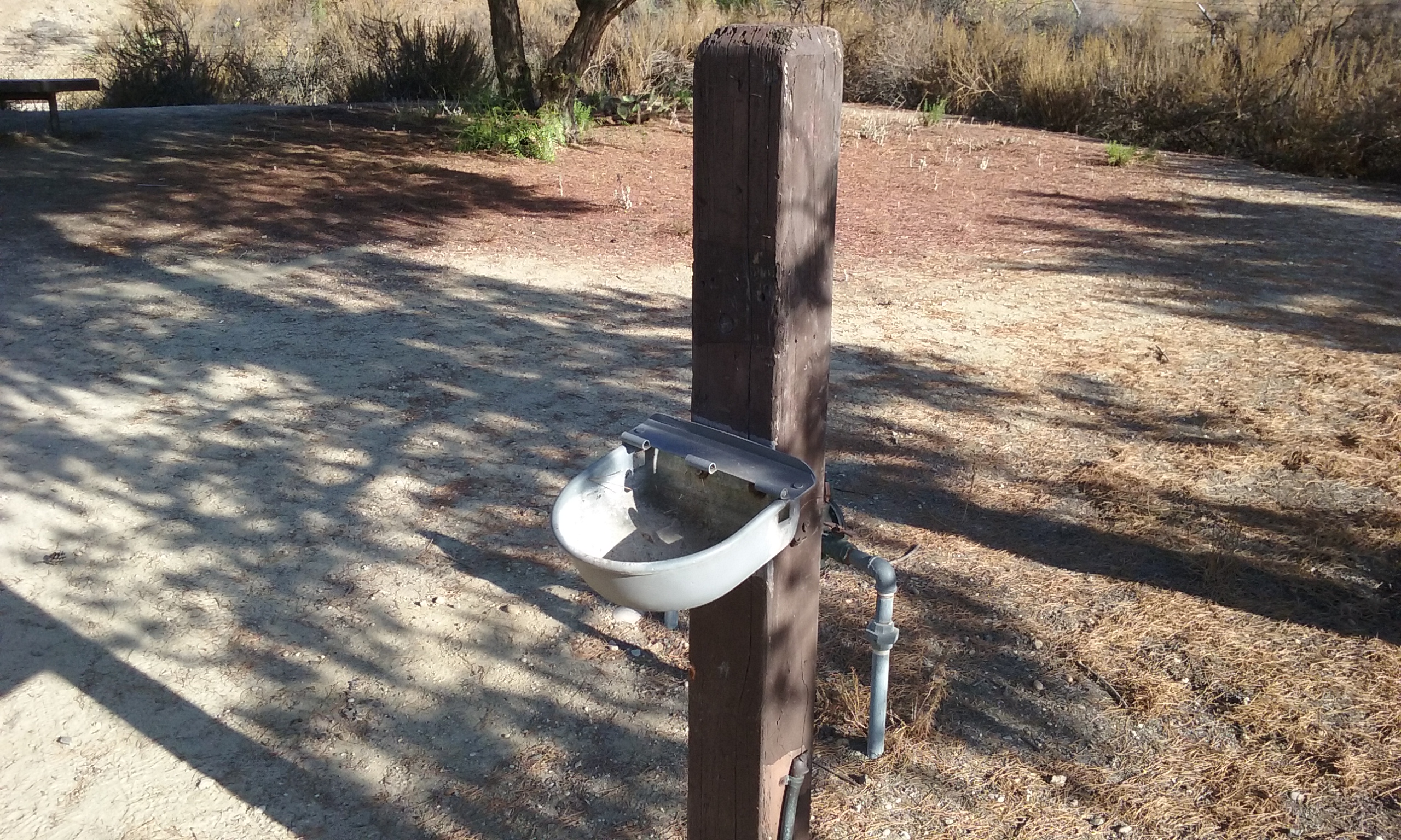
Make the small park where Somerset Lane makes a sharp bend more prominent by at least officially naming it. That will encourage people to park there. There’s more parking space and it is less intrusive on the neighbors than the entrance next to Gilbert. This is because the street is wide as well as long where there are houses on only one side. Fixing the water fountain would be nice. You already have benches and information signs, so it really is a park.
Expensive Trail Repair
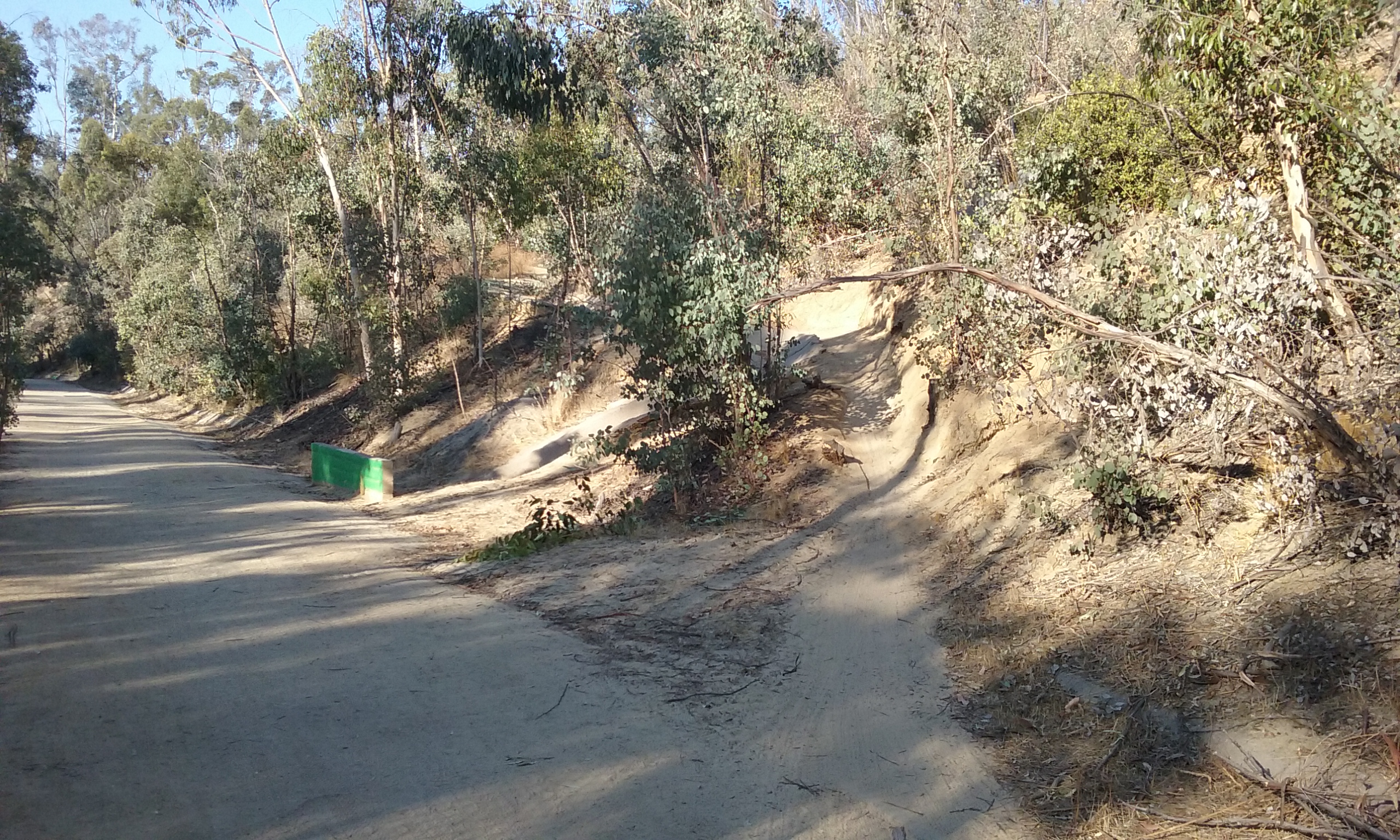
The Castlewood Trail is the most poorly built trail of all the expensive trails in Fullerton. Where the bikers have moved off the main trail is both more interesting and safer for walkers. The maintained trail is actually more of an embarrassment for the department than it is a concern for being sued by someone tripping in the ruts. I don’t think it’s the design so much as workers not being supervised. For the whole length, the trail is a good one or two feet lower than the U-channel that it is next to. Most, not some, most . . . of the trail conducts the water instead of the U-channel. There is one place where clearing the debris from the U-channel would help: 33 54 2.4499 -117 57 51.0205. But it must be accompanied by a redirecting the rut in the trail to allow the water to flow back into the U-channel. This will at least stop making things worse for that one steep grade west of the highest point. The expensive way to fix this embarrassing mistake is to bring in many tons of dirt and raise the level of about 2/3 of mile of this trail. That’s most of it from Castlewood Drive to the Coyote Hills Drive cul-de-sac.
A cheaper way is one I saw on the Sally Pekarek Trail. They removed the dirt from under the face of the U-channel that was on the trail side. They then broke the concrete so it leaned down into where the dirt was removed. In some places no dirt was removed and the broken part was discarded.
Expedient; Rut Management
If you don’t mind people seeing an elevated U-channel you must accept the fact that the trail will have to conduct all of the water in ruts. This isn’t unsafe, just embarrassing. Using natural ruts there is something important to know: the speed of the flowing water is what makes the rut deep and narrow and when you use a large piece of wood to move the rut from one side of the trail to the other, the angle of that wood must be as much along the fall line as possible to keep it flowing fast. There’s a tendency to want to move the water at a blunt angle so only one piece of wood is needed. The flow deflected at the shallower angle slows down there. The result is the spreading out of the water for the first few minutes of rain and then after that it flows over the wood. All it does is make it so mud will be there for a long time.
Bench to Mark the Place as a Place with a View
The view of Coyote Hills that is spectacular and it is not very far from Coyote Hill Drive cul-de-sac. 33 53 59.4149 -117 58 10.1641. Theoretically higher up the trail would have a better view but that better view is blocked because of the trees. Cutting those trees down and putting in a bench would show that the Parks Department recognizes that that spot is indeed a good view. A bench carefully chosen for its view and its own visibility from the street would call attention to the value of the trail.
Trash Can
The Coyote Hill Drive cul-de-sac might be a good place for a trash can. The placing of a trashcan is not as critical to the users as it is to those who have to empty it. Users can carry it with them if they knew there was a trashcan in their direction. This is especially important for those that pick up trash for the exercise. For that reason at the ends of a trail using a simple trail marker with an indication of how far along the next trash can is would be useful as well as needing only one trashcan to maintain.
The following gallery if for the suggestions part of this web page.