

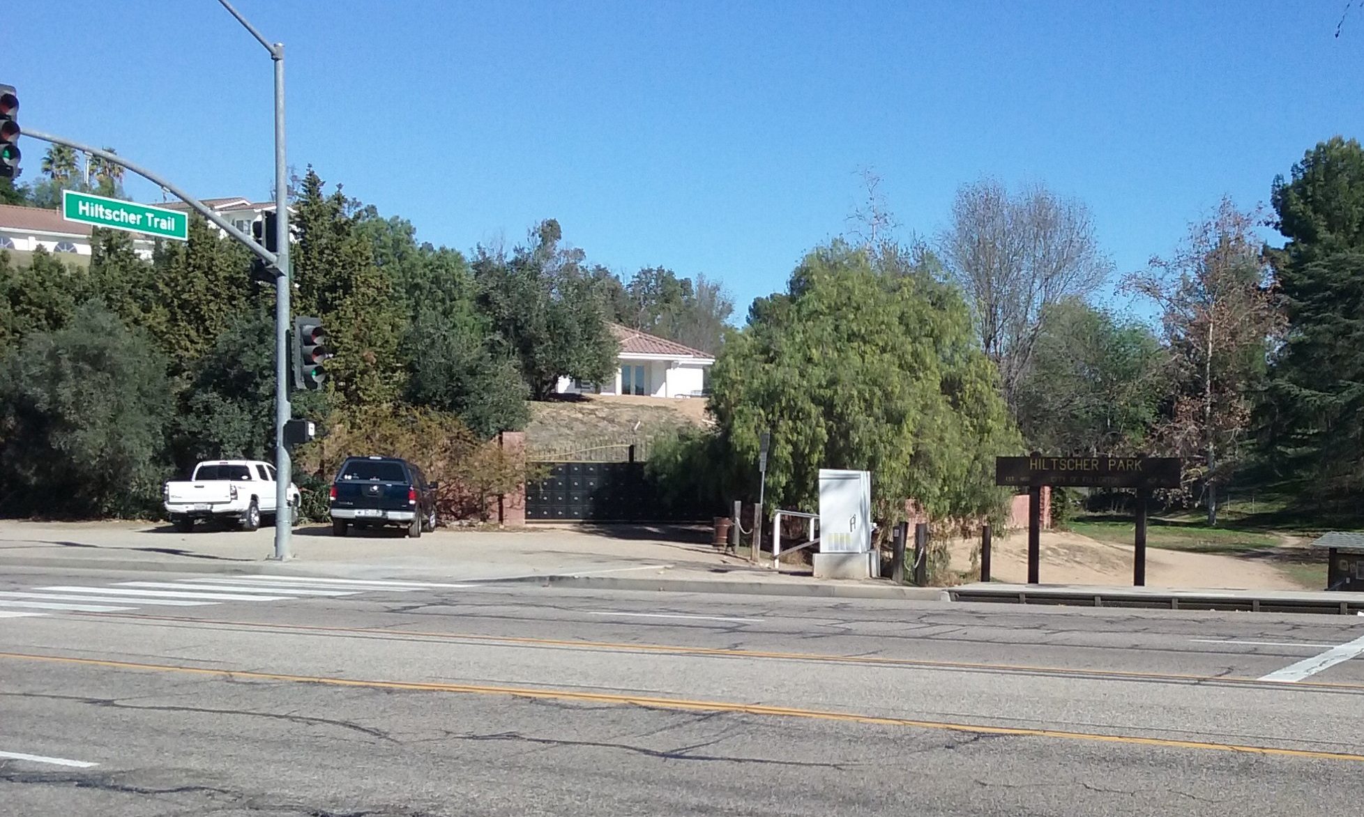
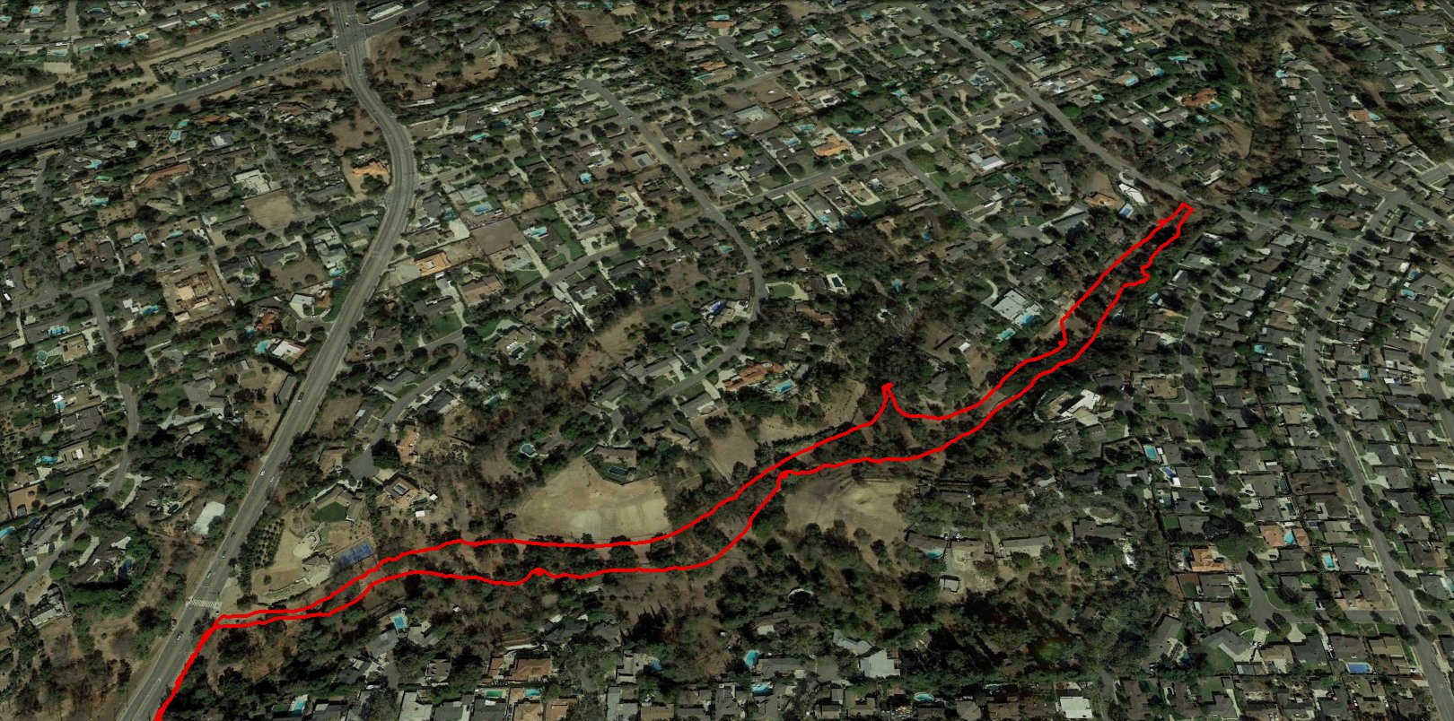
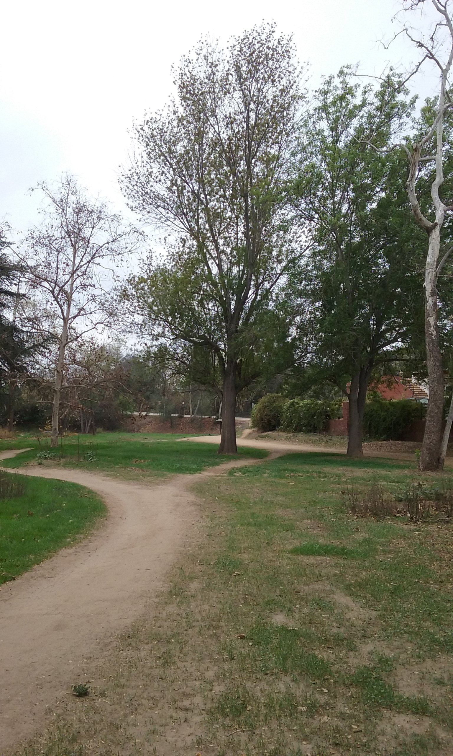
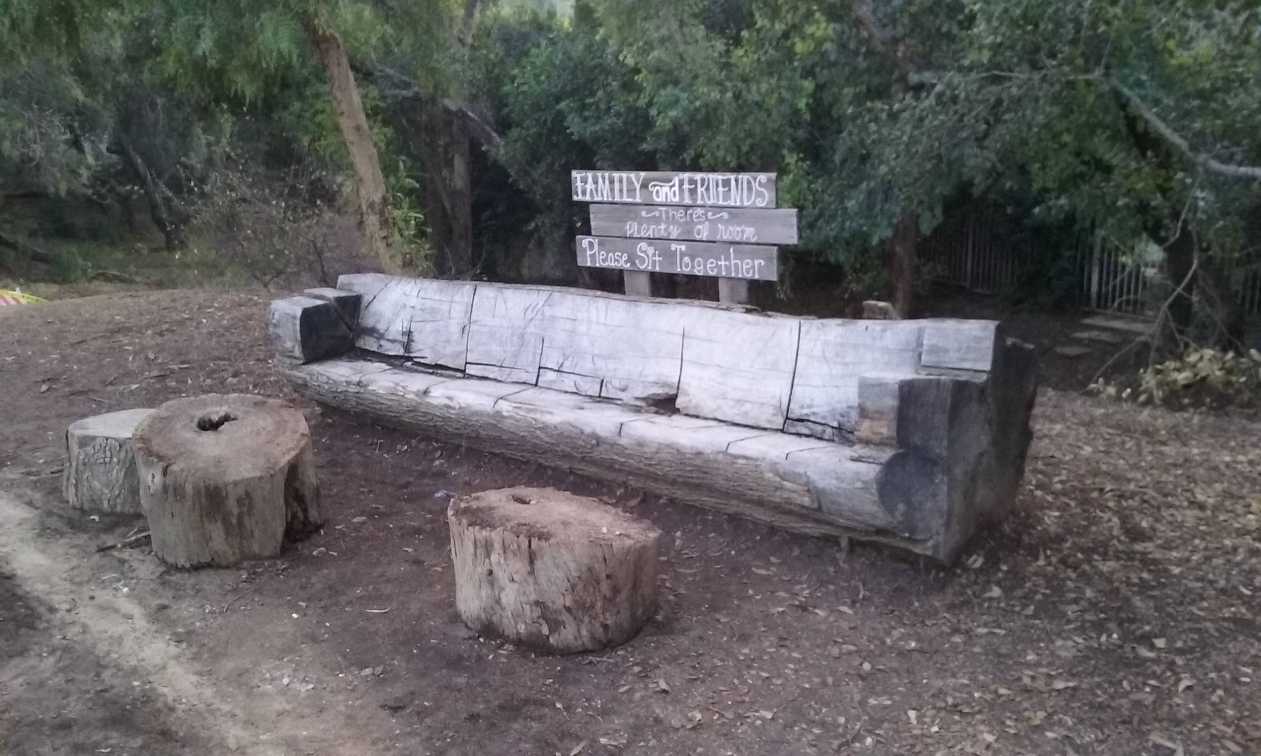
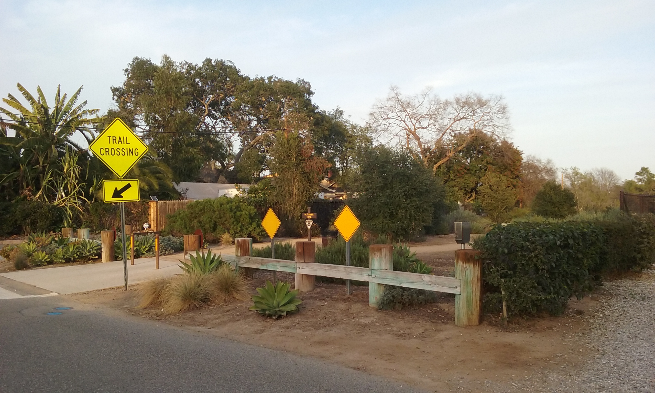
Out and Back to the Garden of Weeden (1.7 miles) Hiltscher Trail is part of the 11 Mile Fullerton loop so it is very well known by bikers. It is so popular by bikers, the city put in a signal on Euclid just for this trail. It is south of Bastanchury about a half a mile on Euclid. The parking for the Hiltscher Trail hike is limited to only about six or eight cars and if it is full, find your way south (about 1/2 block) to Valley View and park along that street. The Park’s trail at the other end, makes a Tee with the Juanita Cooke Trail. That point has a nice log bench to sit on and a water fountain provided by a neighbor. That same neighbor maintains a garden for our viewing pleasure; the Garden of Weeden. (To thank that neighbor, scratch a T in the dirt… er something.) That goal is 1.7 miles out and back. You can make it longer by taking Juanita Cooke to its south extreme (the Court House parking lot) for an out and back walk of 3.3 miles. But there’s nothing in the way of a goal there, other than it is the end of the premier trail of Fullerton.

Loop (2.1 miles) From the top of Hiltscher Park Trail (where the neighbor provides water) going north on the Juanita Cooke (about .2 mi) is another trail called Horse Alley that parallels Hiltscher Trail to form a loop of 2.1 miles. Your return to the parking lot is by walking on gravel along Euclid for about a half mile. That is described in more detail in the folder named Horse Alley.
Other Side of Euclid (is not of interest)
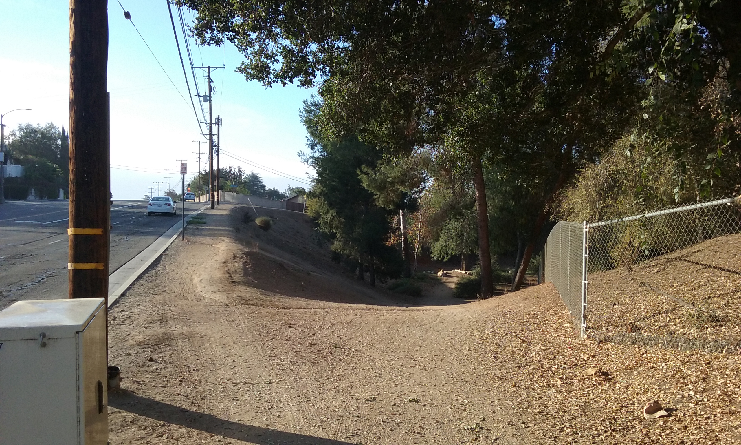
The starting point for the journeys described above was the six or eight parking places on Euclid where the street sign actually says “Hiltscher Trail” click here–> Hiltscher Trail Parking. Behind the camera the trail continues up the steepest grade of the Fullerton Loop. Walkers won’t have any trouble but once at the top, there’s no place to go, really. Bikers have almost a mile of street to ride on before it gets back on dirt again. But for walkers there’s no interesting goal. There’s maybe Fern Drive Park (adjacent to Fern Drive School). That’s one block south and 1/2 mile west. But it doesn’t even have picnic tables.
That’s it for trail descriptions. From this point on are interesting facts about this park.
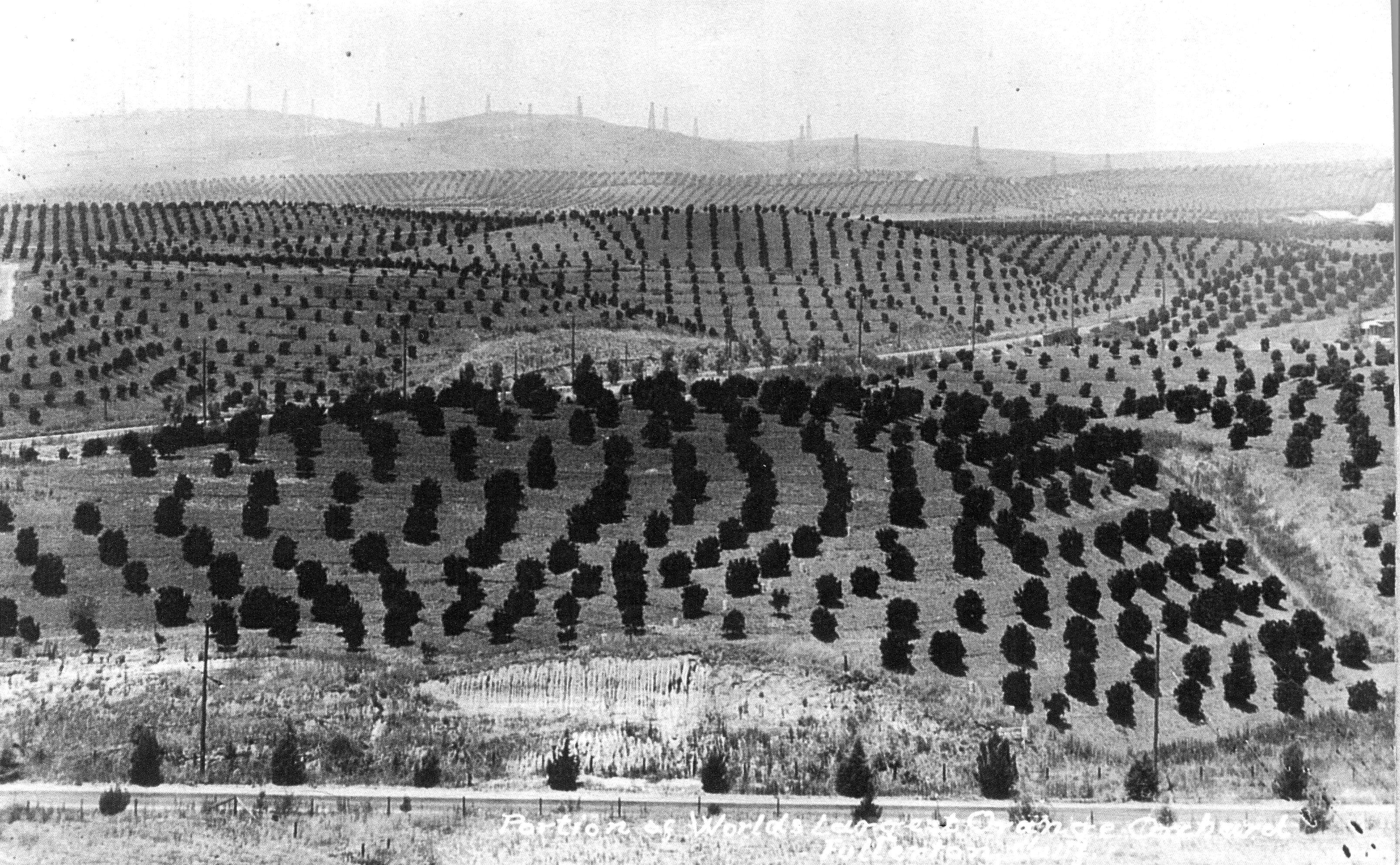
There’s a bit of history on the Juanita Cooke at the Horse Alley entrance. On the east side are now medical buildings. Before that, some of you older residence may remember a Mexican restaurant and Sunny Crest Market. Sunny Crest Market was memorable because it was the size of Ralph’s or Von’s but independently owned. The Juanita Cooke Trail is exactly where the Pacific Electric (the Red Car line) was. Most Fullertonians know that. But you would have to be at least 90 years old with a really good memory to know that there was a loading dock east of the Sunny Crest Market; about where the post office is now. There was a Santa Fe and a Union Pacific spur that terminated there too. Each had their own loading docks for the Bastanchury Ranch; the largest citrus orchard in the world at the time. The Pacific Electric short spur that went to the loading dock pulled away from the main line where this trail, the Hiltscher Trail, now meets the Juanita Cooke. There’s a bit more on the Pacific Electric Through Fullerton in the –> Juanita Cooke Trail web page.

How Orange Groves Become Housing Tracts As has been mentioned on other web pages, a park is leftover land that can’t be sold for commercial purposes because it is a natural wash. That’s why parks are odd shaped and rarely in a place that is convenient. In the case of Hiltscher Trail, it was land Sunny Hills Ranch Company couldn’t sell to the developers around Valley View. (Sunny Hills Ranch Company is the name of Bastanchury Ranch after 1936 when the family had to sell it off in its entirety to bond holders.) For more on real estate in this area, click on this link: http://www.orangecountyhistory.org/history/bradshaw-bastanchury-ranch.html
____Thank goodness though, for such leftovers or we would have very few parks. City parks are never affordable after the need becomes apparent. (Hillcrest Park was kind of an exception. That was a very expensive initial investment (1920) and has absorbed the largest amount of the parks department budget since then. For an argument on behalf of spending money on how a park looks from the street go to the top of the webpage Hillcrest Park.) To give you an idea of how little money the city has to spare, it is very common for the city to negotiate the housing developer to pay for building a school and a park next to it. A city is rarely able to float a bond to build a school. (A bond raises taxes for all citizens.) The cost of maintenance from that point on is born by the water bill. (City taxes.) The large grass area which the kids play on during school time and a park for the community at all other times has its maintenance cost split between the school district who would cover the water bill while the parks department does the mowing.

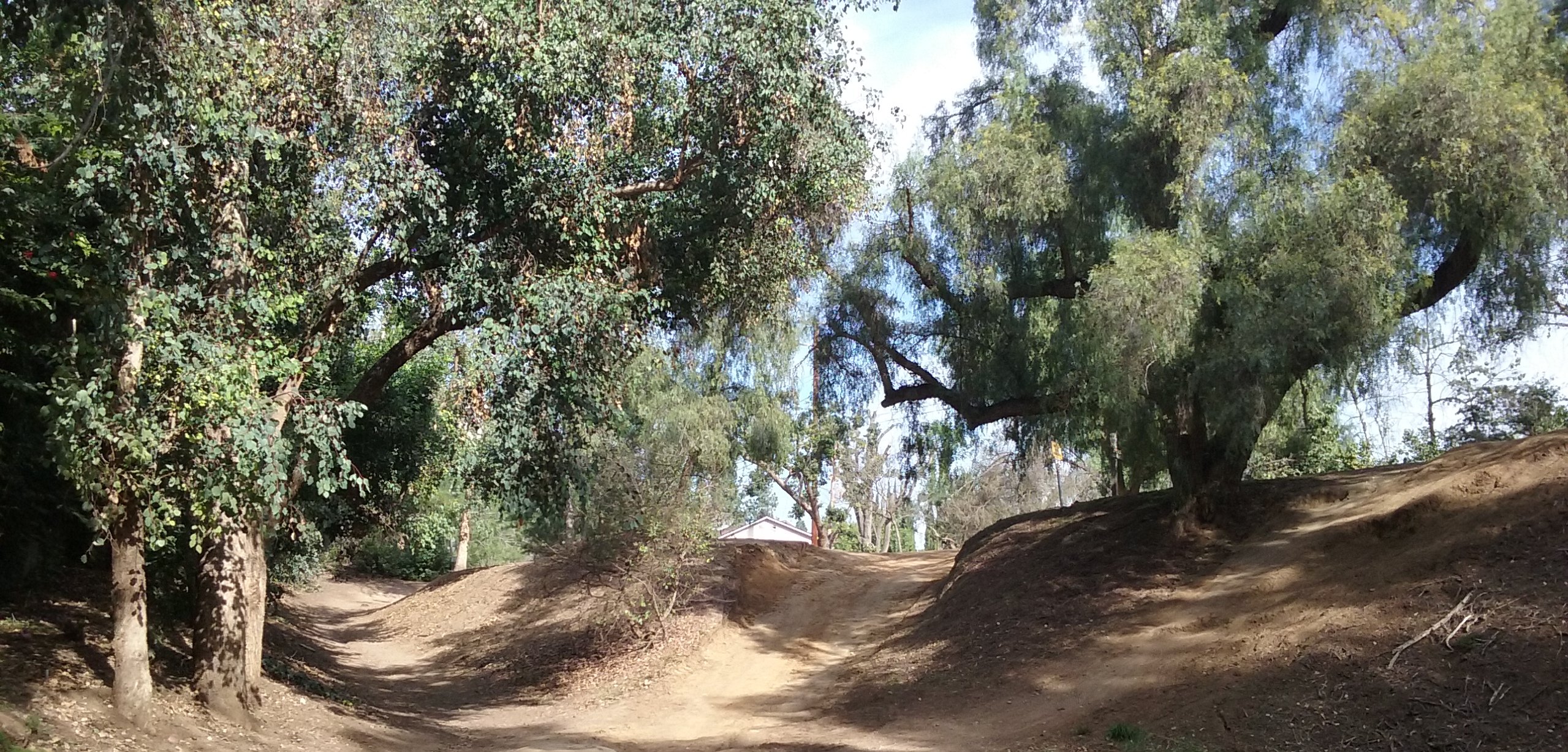
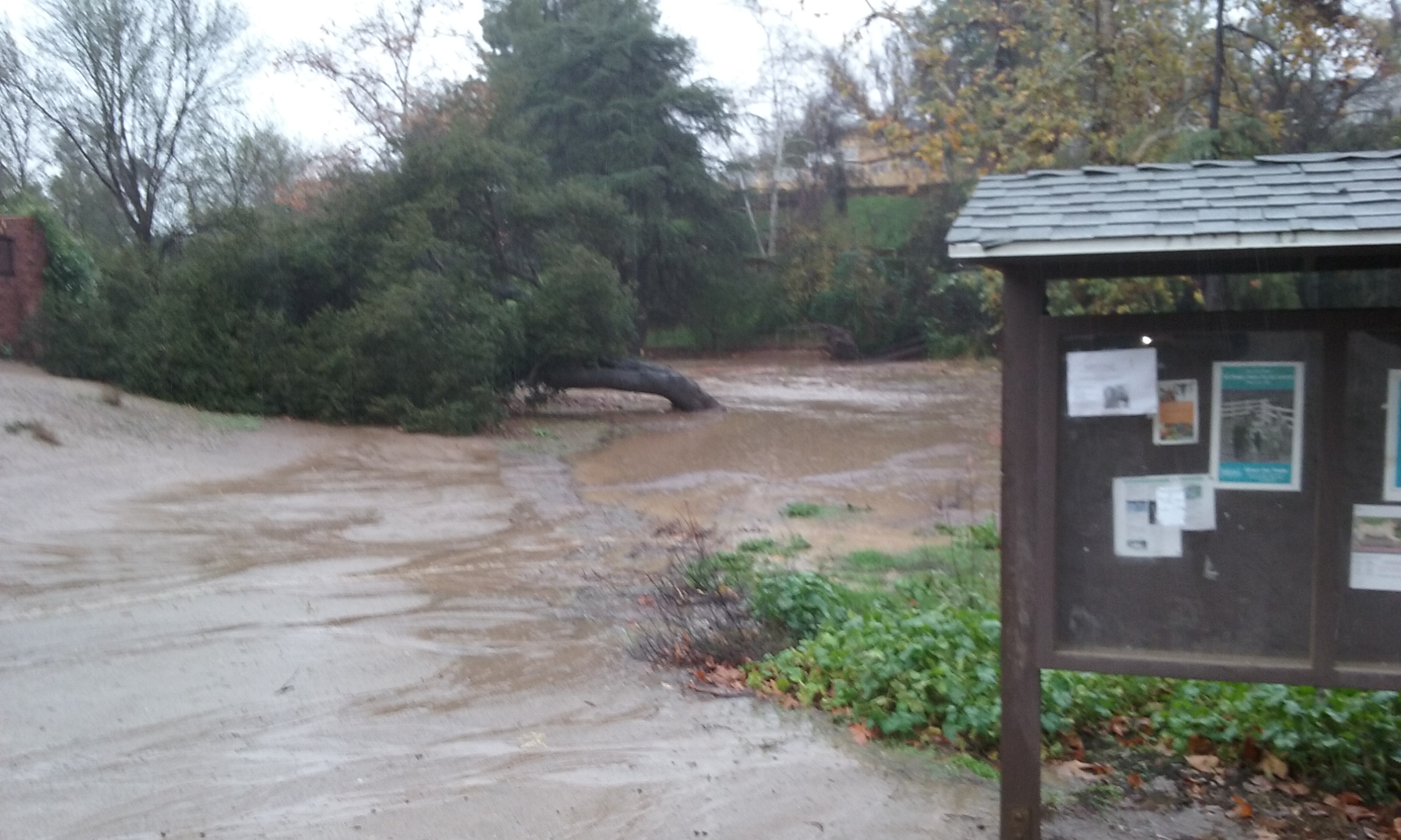
How Water Defines the Shape of a Park Hiltscher Park is odd in that it is so wide for being leftover land. It is 200 feet wide for most of its length. The creek down the middle has no source. That is, the only water there is run off from the homes on the sides and only while its raining. (Only a few hours a year is there water there.) The widest part is next to Euclid which becomes a lake during a storm; a 2 acre lake. Because of the flatness of this wash the actual path the water takes meanders from one season to the next.
How Hiltscher Park Trail Got Its Name Fullerton Parks are named after the street they are near, or those equestrian pioneers involved in the making of the trails for horses. The only exception are the three astronaut parks and this one named after August Hiltscher; a Fullerton council member from 1913 through 1918. His son was the one that pushed to have the park named for his father. The fact that it is his name too, was not lost on anyone at the time. Herman, was at the time very much into city politics. He lived into the 1970s and earlier served as a planning commissioner, a city engineer and in various administrative positions. All the service he did for the city appears as a fog behind something in his past that sticks out because it is so politically incorrect today. That story is way too controversial for these pages. For more see this link–> http://jesselatour.blogspot.com/2012/03/herman-hiltscher-on-citrus-labor.html
Bikers and Hikers
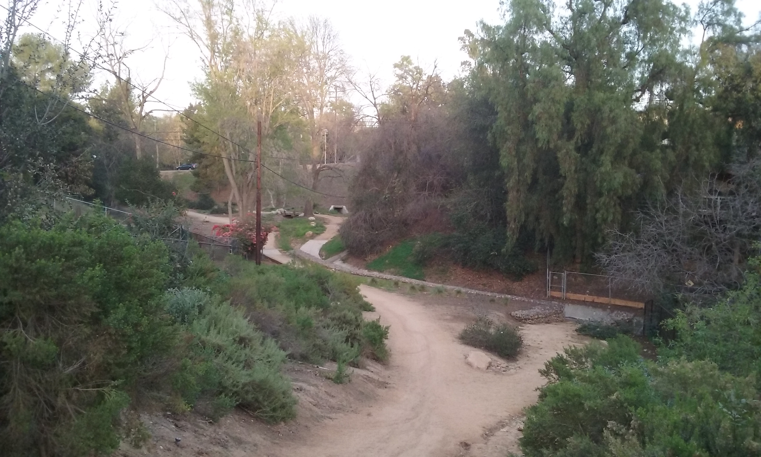
About half of the 28 miles of trails we inherited from the Fullerton Recreational Riders is now part of the Fullerton Loop. The Hiltscher is a downhill leg of that loop. That means sometimes, they are moving kind of fast here. They usually take the south side trail because it follows the meandering of the creek. They even cross over and in places ride through the dry creek bed. It is very much appreciated by the bikers if you can step off the hard packed part of the trail so they can sail by you at full speed. If you are facing the bike traffic you can see them coming. There’s a direction to the Fullerton Loop. It’s clockwise which here means to the west on the Hiltscher. So if you are going to walk the meandering south side, walk going east. Don’t worry, if you go the wrong way, there’s no where on this trail are there blind turns so they will go off the hard part if they have to. In the months after the weeds are cut back, you can of course walk anywhere along this park/trail. For more on biker/hiker etiquette.
Click on a picture to see it full screen . . .
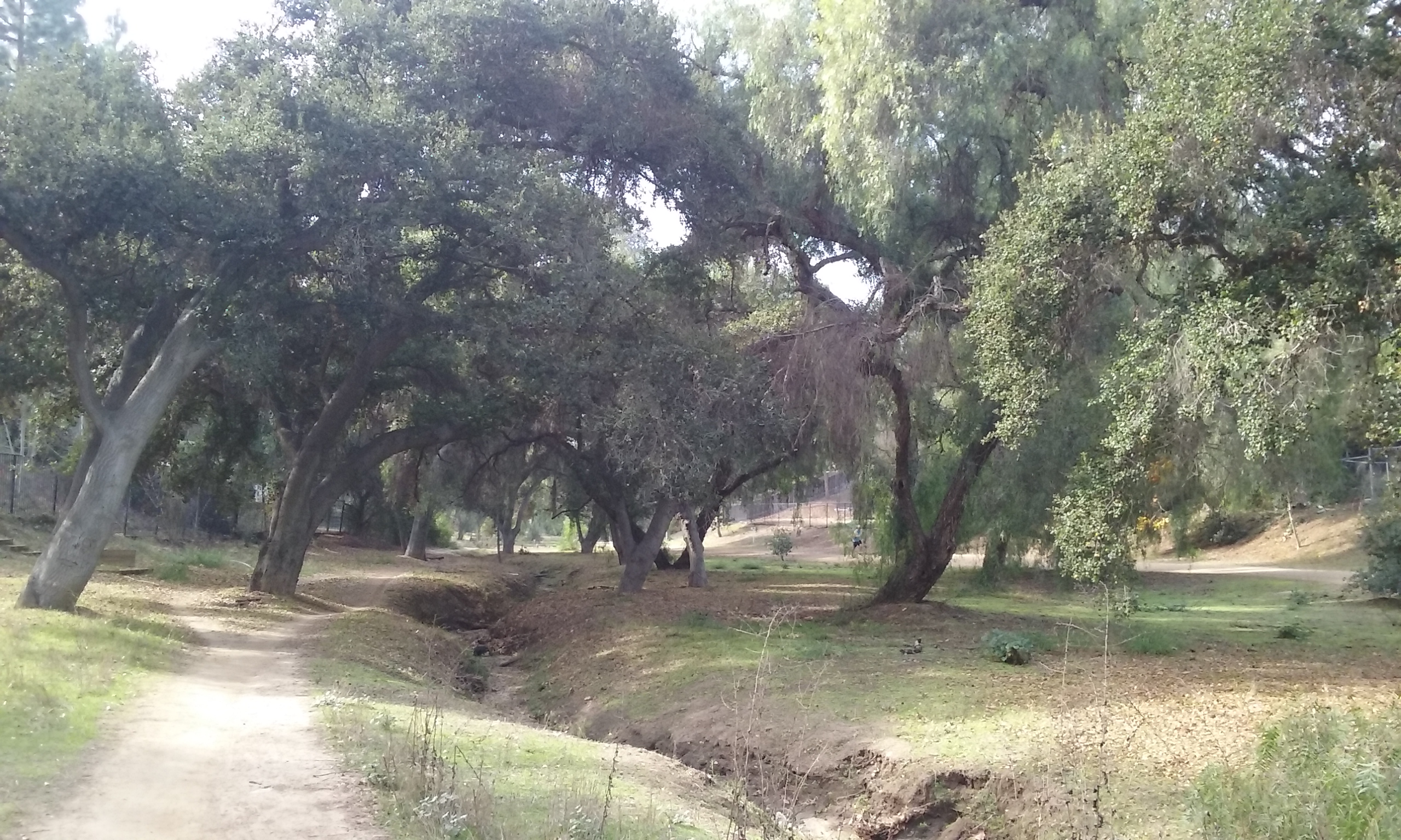
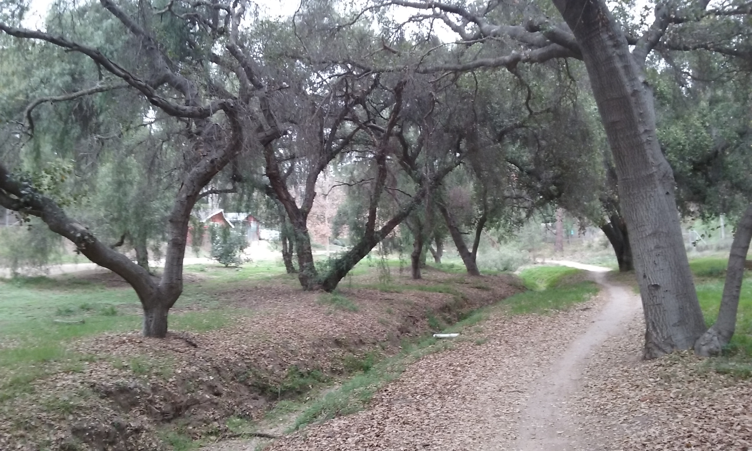
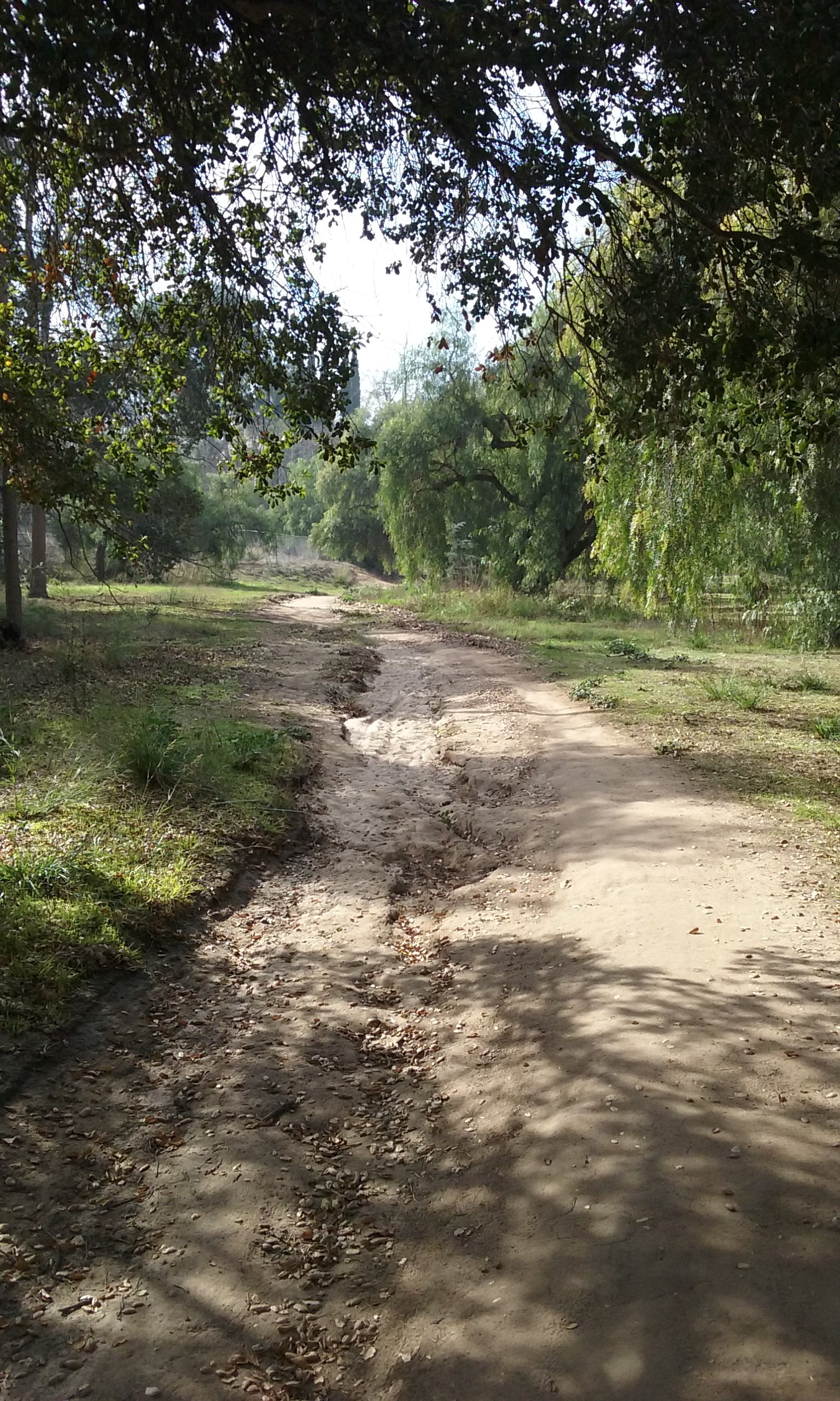

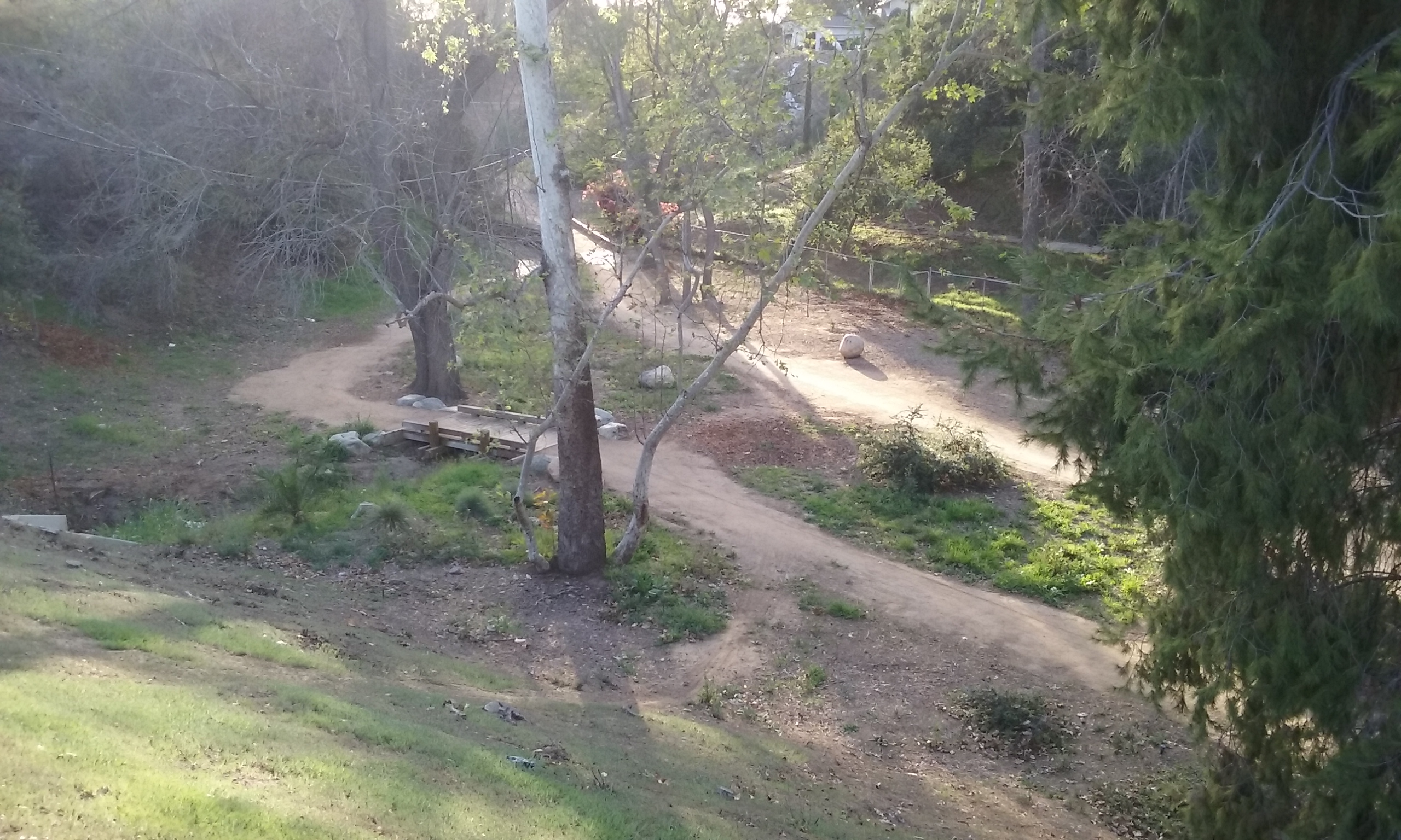
Suggested Improvements Hiltscher Park Trail is unusual in that there’s two trails separated by tall trees and a wash. Although one of them is more popular for bicycles, it is not safety that makes two better than one. It is that it makes for a more different walking experiences. Since taking the same trail in the opposite direction is also two different experiences, the two trails presents four unique experiences. But for the east third of the trail (east of Richman Knoll) the wash is to one side which discourages bikers from pioneering a second trail. A second trail could be established as a Boy Scout project with only a rake. Once the bikers see there’s a trail there, their use of it will make it even more obvious. Hoes in addition to rakes will be necessary in two places where the wash will need to be crossed. Since the wash is only for storms, there’s no need for little bridges to cross the ruts. (The south side trail crosses and even joins the wash in several places, so it would appear OK to that for the upper third also. Shortly after a storm, the bikers have no trouble establishing through use a trail there again.
The two Hiltscher trails are part of the 11 mile loop that is famous among bikers. Bikers and hikers get along fine, and the only hazard in sharing is due to the narrowness. There are places on the narrow path where widening it would allow the bikers to avoid a walker who didn’t step out of the way.